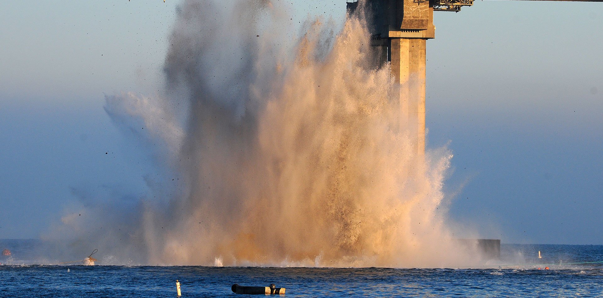
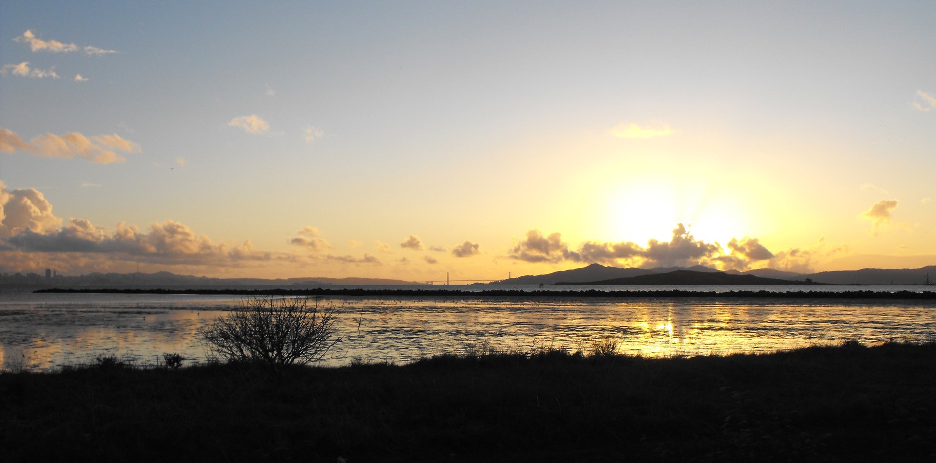
Why does this project matter?
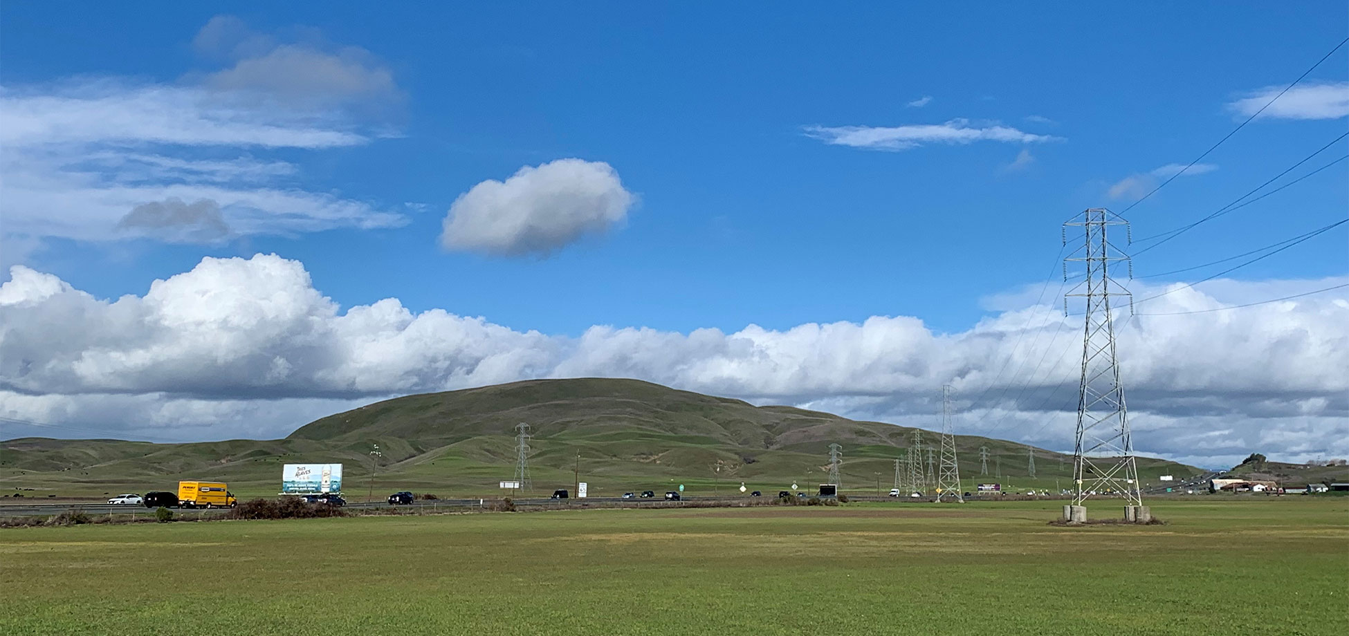
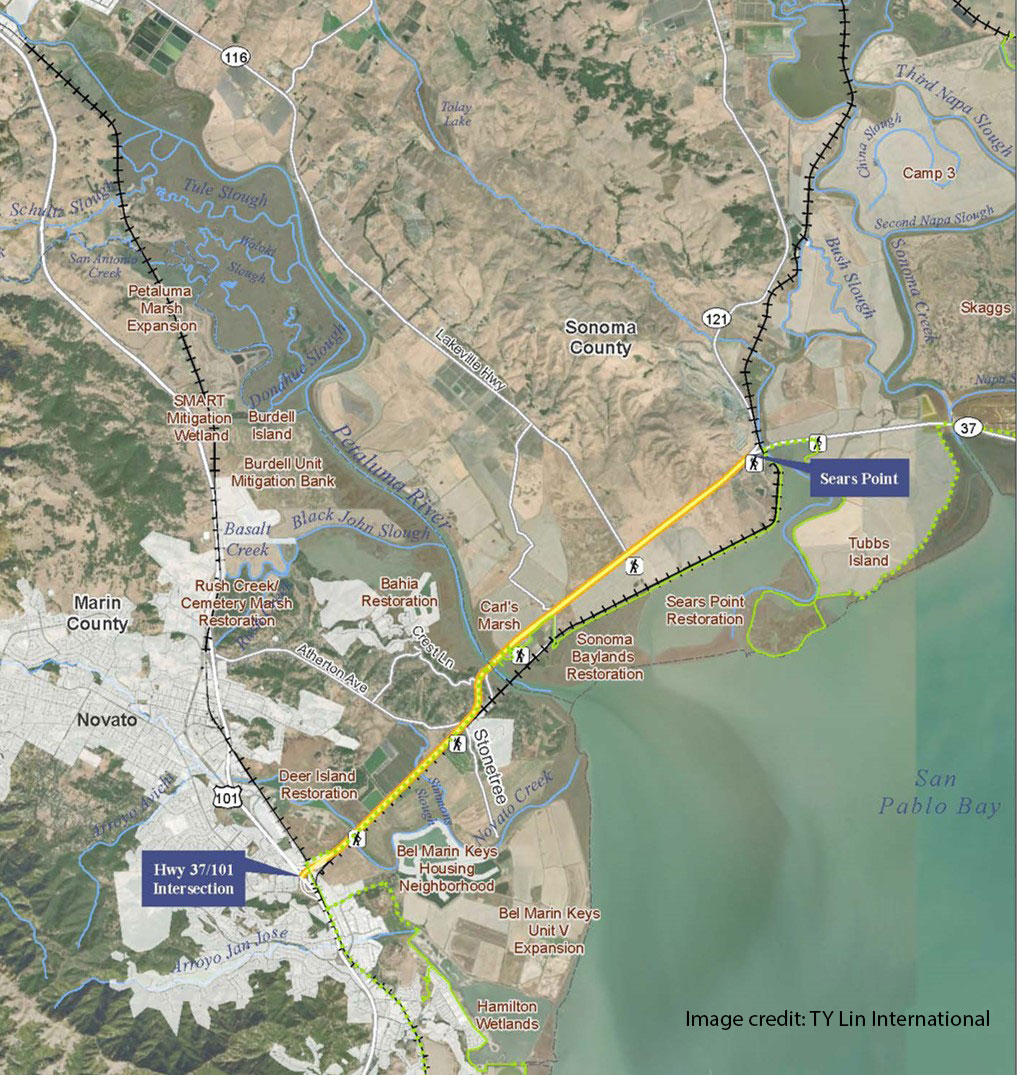
It is important to integrate restoration ecology, hydrology, and coastal engineering into the design solution since the highway crosses a landscape of sensitive wetland habitats, restorable wetland areas, and regionally significant coastal and riverine water bodies.
What is ESA doing to help?
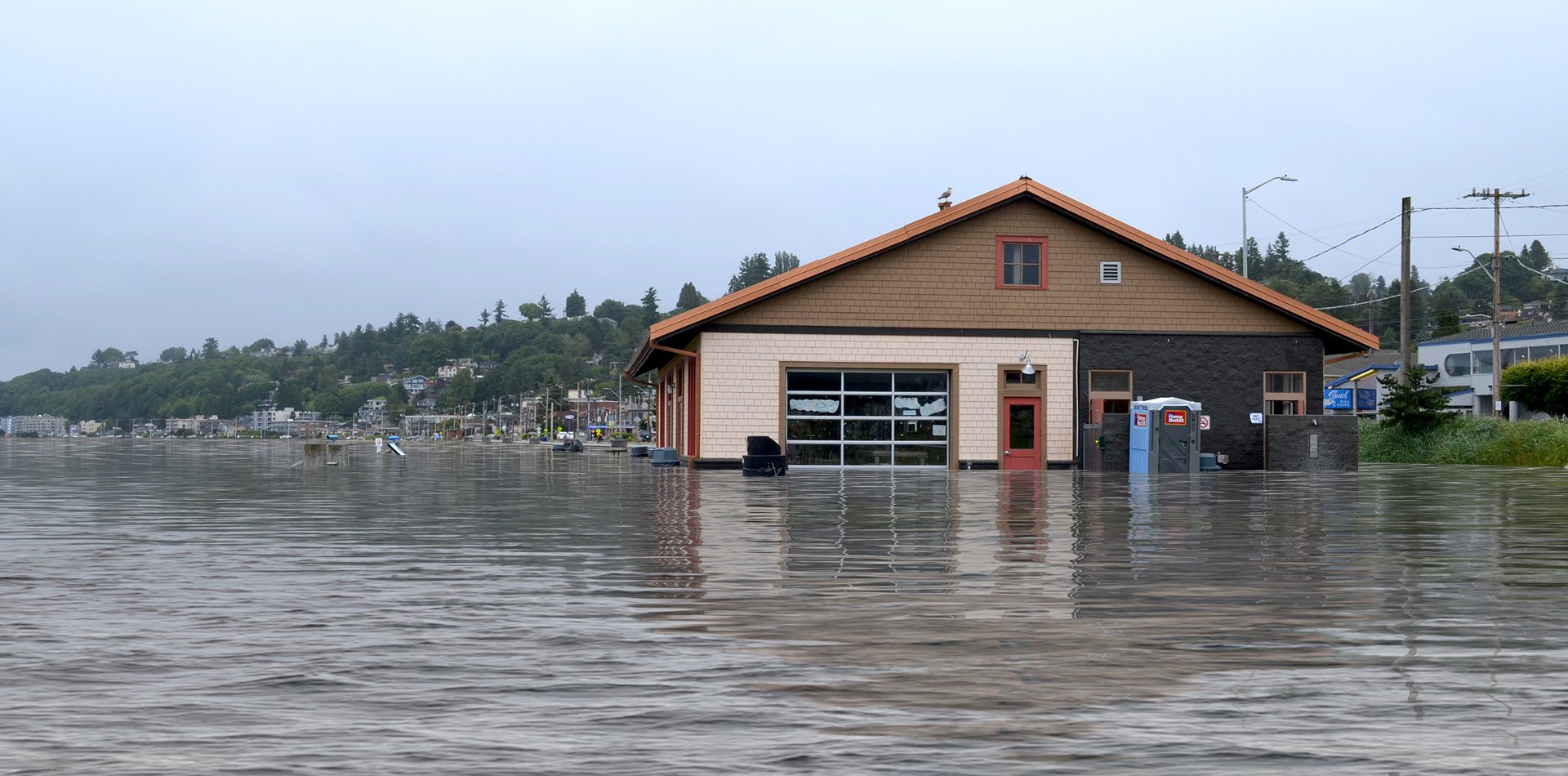
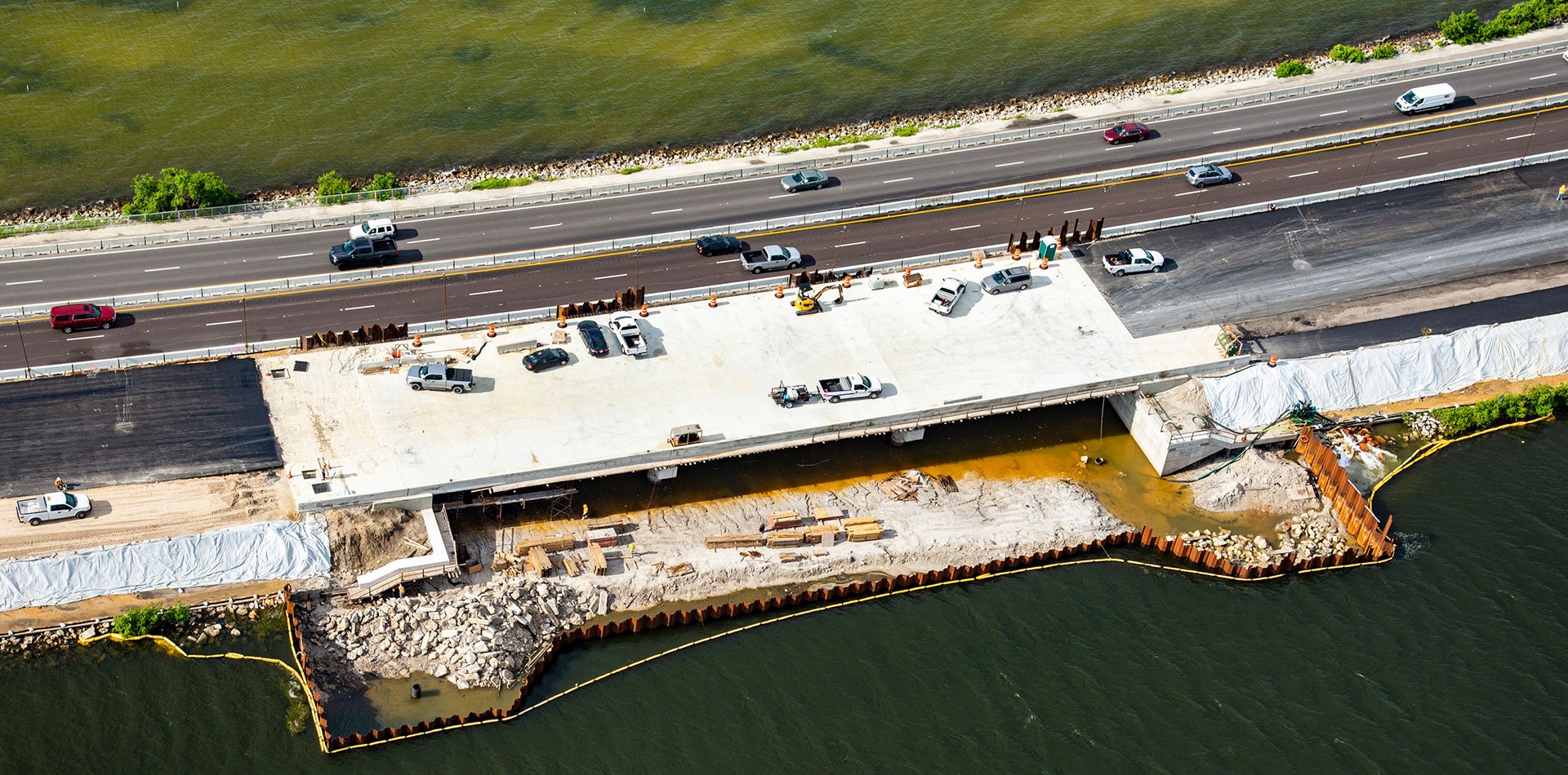
ESA worked with the Metropolitan Transportation Commission and TYLin International on the Resilient SR 37 Project (US 101 to SR 121) to develop transportation alternatives that are resilient to extreme flood events through the year 2100, improve travel time reliability, accommodate multimodal use, and integrate with existing and potential future restored habitats to ensure healthy and resilient ecosystem function.
Our team assisted with stakeholder workshops and environmental technical working group meetings and gathering input from a range of stakeholders. We led the development and evaluation of alternatives for environmental factors (e.g., biology, wetlands/restoration, hydrology, noise, air quality, others) to support selection of a preferred alternative. ESA staff also provided GIS services for the consultant team to support alternatives development and evaluation.