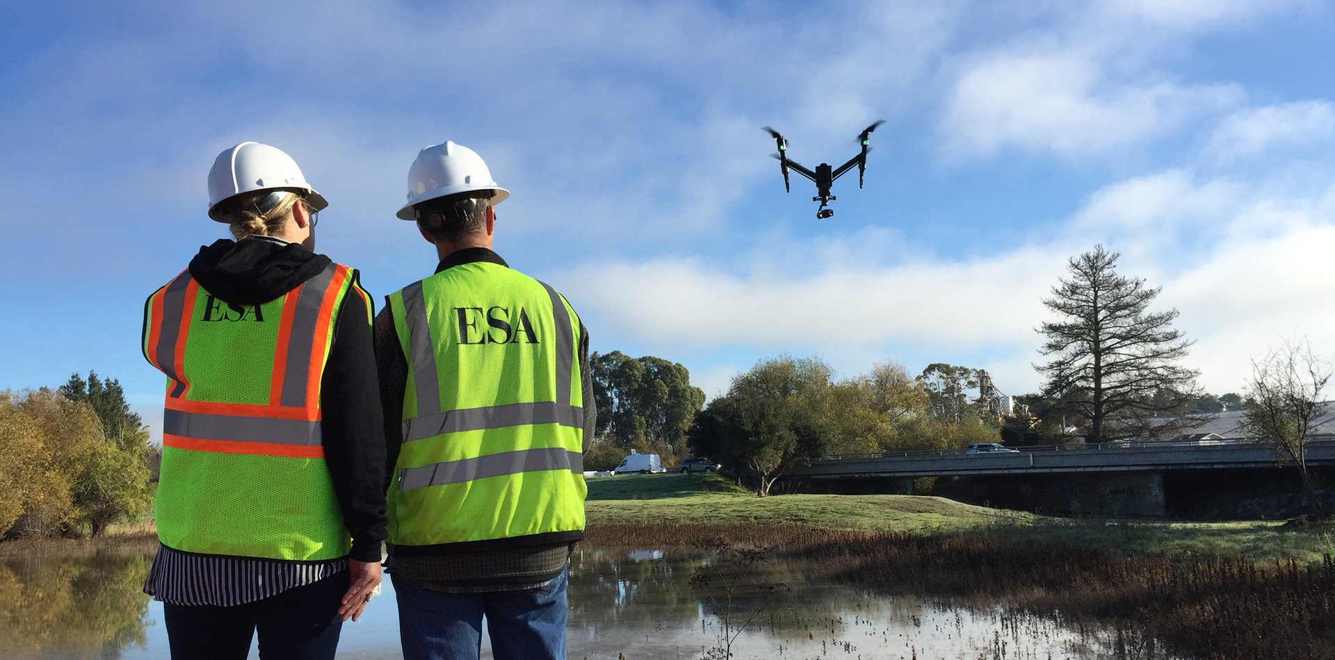
ESA’s UAV program is unique in the industry—because our FAA-certified drone pilots are also top-tier environmental scientists.
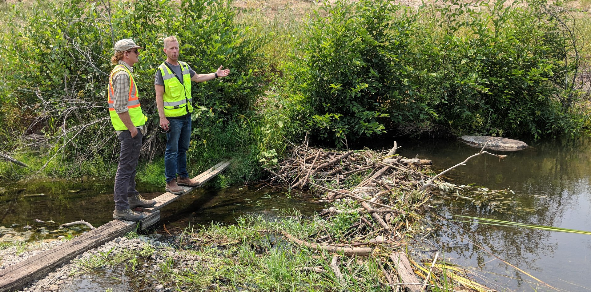
Our professionals in the fields of biology, hydrology, engineering, and geospatial analysts specialize in supporting the planning, design, construction, and monitoring of a full range of projects that include new infrastructure planning, archaeological investigations, biological surveys, and habitat restoration. We use FAA-certified pilots to operate UAVs for on-demand data capture either as a stand-alone service or often as a complement to an existing set of services for our clients.
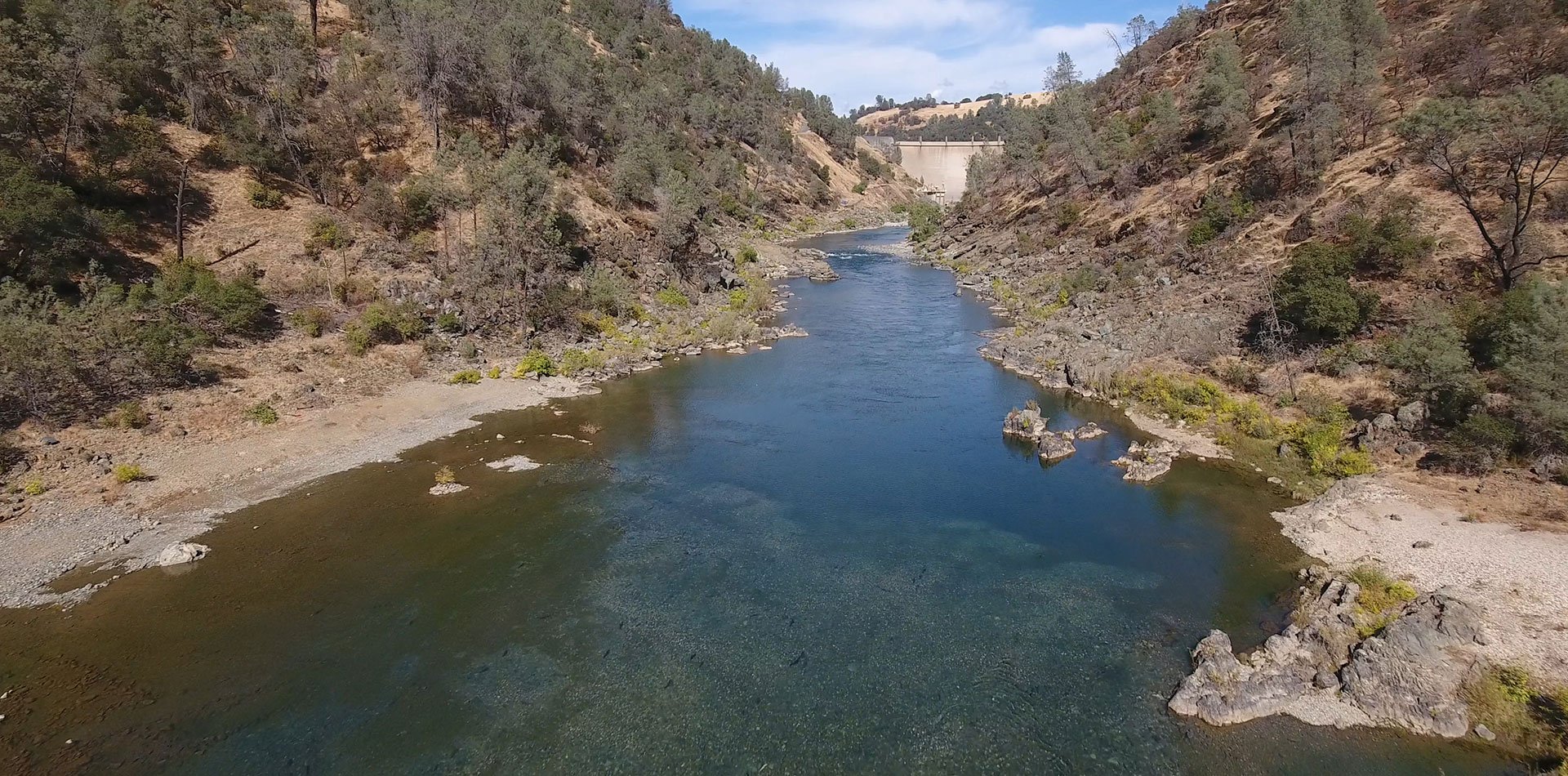
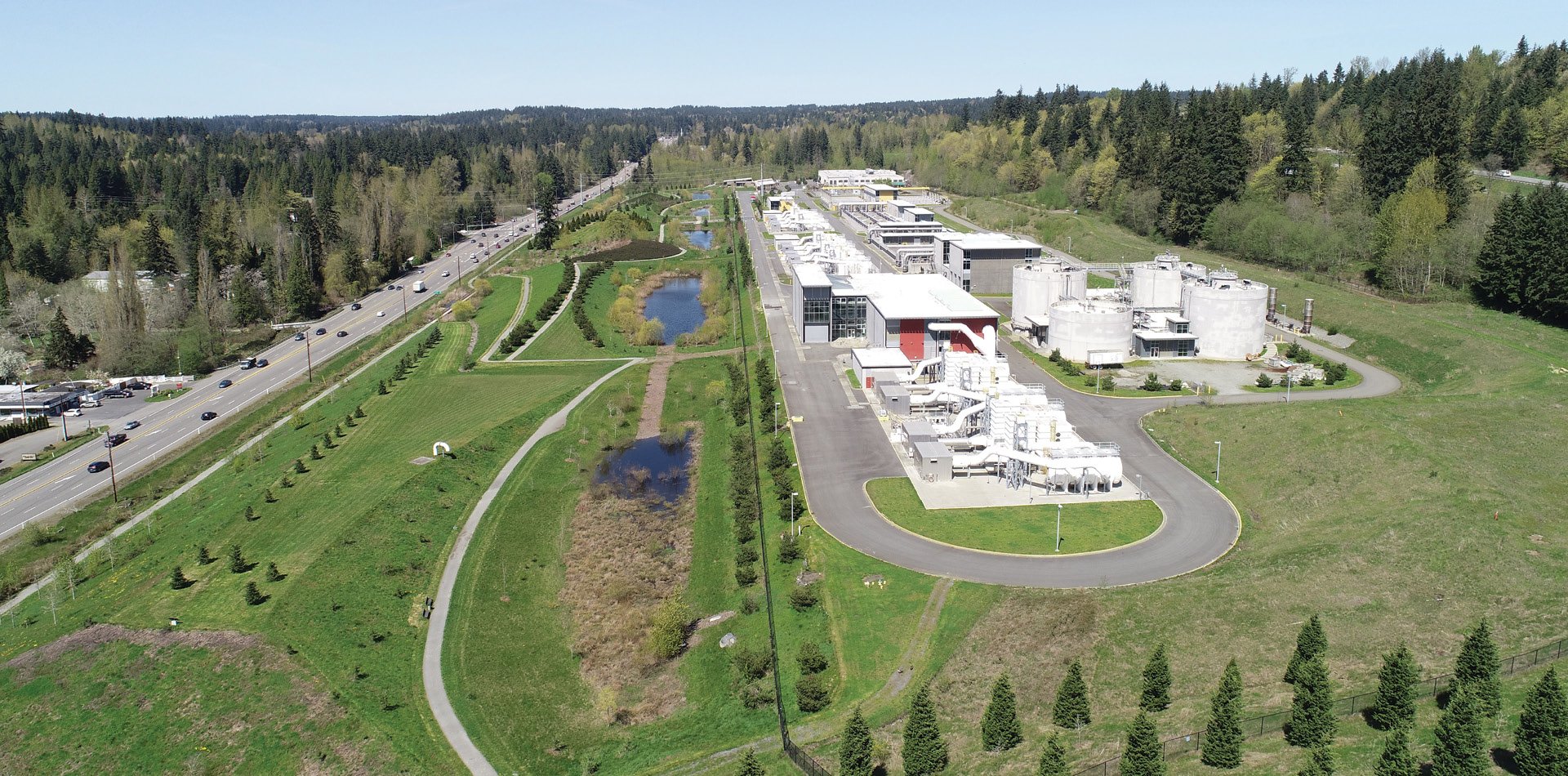
We can deliver a range of direct and derivative products from these services, including very-high resolution five-band orthomosaics, 4K HD video, and elevation data (Digital Terrain Models) for cultural, biological, and water resource applications. We use the industry standard Pix4D software for drone mapping and photogrammetry. Working closely with our geospatial services team, we can also use remote-sensing classification techniques to map and quantify landscape cover types at fine scales.
Our Expertise Covers:
- 3D modeling
- Archaeological investigations and mapping
- Biological monitoring
- Construction monitoring
- Design and planning
- Emergency operations
- Habitat restoration monitoring and reporting
- High-definition video
- Invasive species monitoring
- Monitoring riverine and coastal erosion
- Operations and maintenance inspections
- Orthomosaic imagery
- Permitting for biological assessments
- Public outreach and education
- Scientific research and investigations
- Wetland documentation
View our digital brochure to learn more about this program.