Why does this project matter?
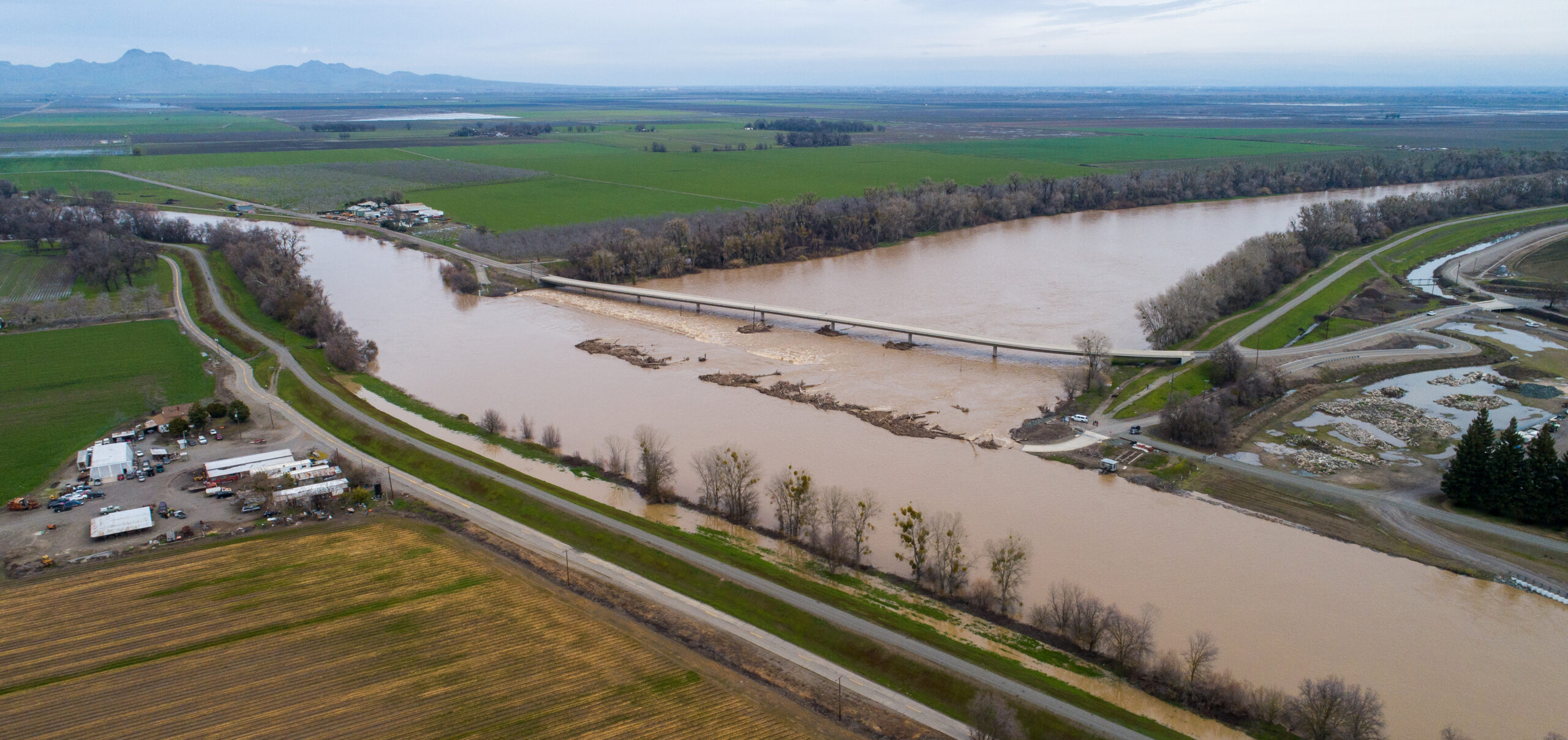
The Project will rehabilitate the Tisdale Weir to extend its design life by an additional 50 years or more, and address a known fish passage barrier that presently results in stranding and loss of anadromous and other fishes, including listed salmonid species and green sturgeon. Despite the existing fish passage and stranding issues at the weir, the bypass also provides significant inundated floodplain habitat benefits for juvenile fish.
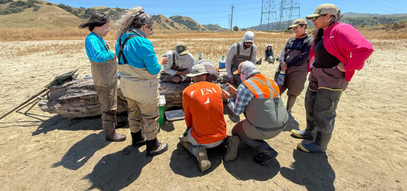
What is ESA doing to help?
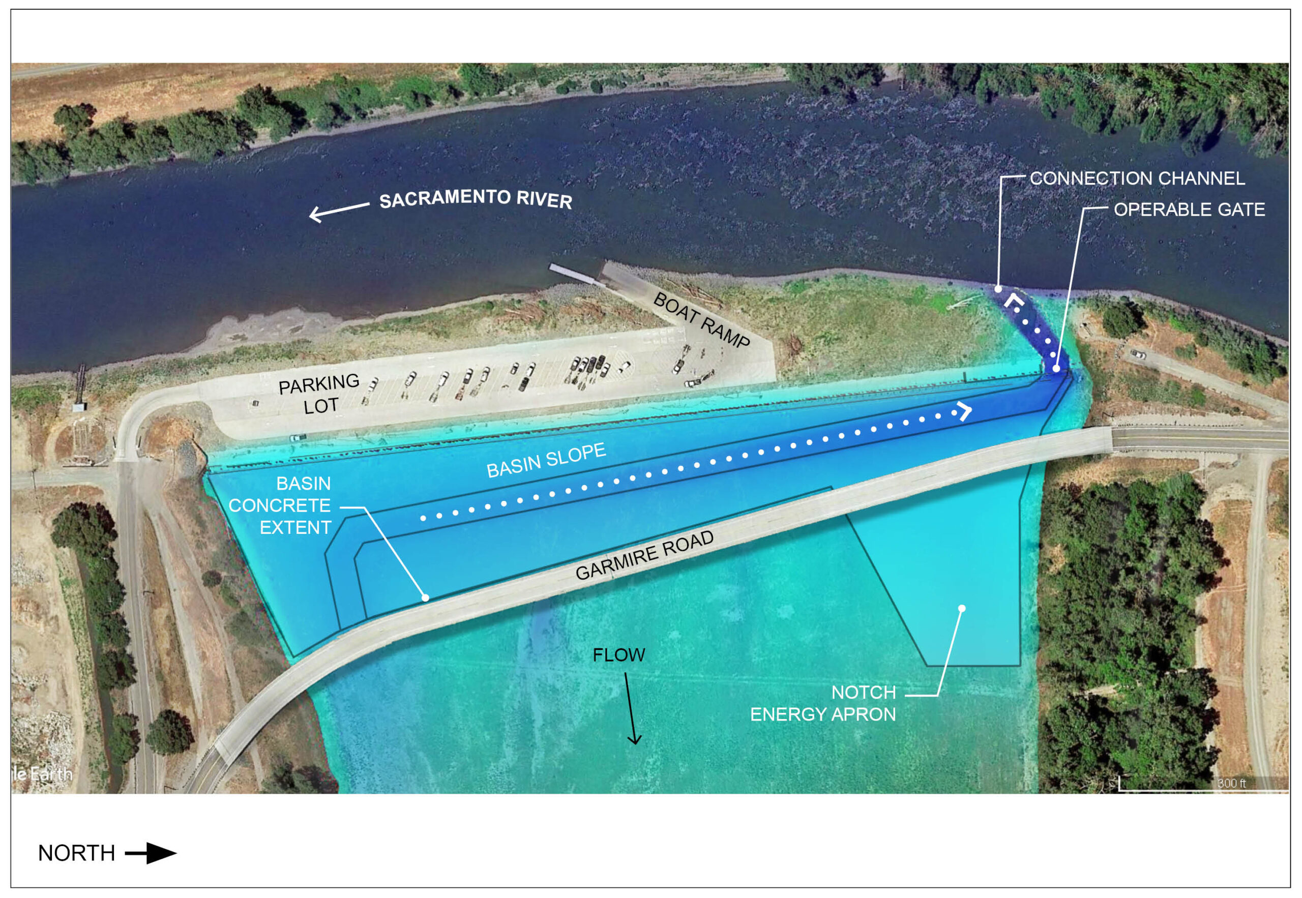
ESA supported DWR which included planning, data collection, analysis, engineering analysis and design, environmental regulatory compliance for rehabilitating the Tisdale Weir, including design of a gated notch through the weir and connection channel to the Sacramento River to improve fish passage.
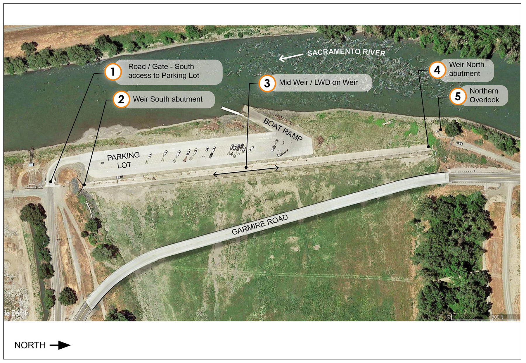
Left, the existing Tisdale Weir and upstream extent of the Tisdale Bypass. Right, the proposed weir rehabilitation design will add a significantly expanded energy dissipation apron integrated with a fish collection basin that drains back through a new gated notch and connection channel to the river.
The Project will address key flood risk concerns associated with the aging and deteriorating condition of the weir and its appurtenances. Installation of an improved energy dissipation structure and fish collection basin, gated fish passage notch, and connection channel will allow migratory fish to return to the Sacramento River as flow to the bypass recedes. These outcomes support a primary goal of the Central Valley Flood Protection Plan (CVFPP) to improve food risk management while achieving specific supporting goals including improving operations and maintenance (O&M), promoting multi-benefit projects, promoting ecosystem functions, as well as addressing the CVFPP’s Conservation Strategy goal to eliminate key stressors such as fish passage barriers. The project initiated construction in 2025 and is scheduled to be completed in autumn 2026.