Why does this project matter?
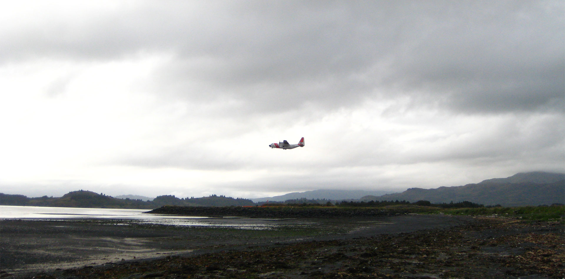
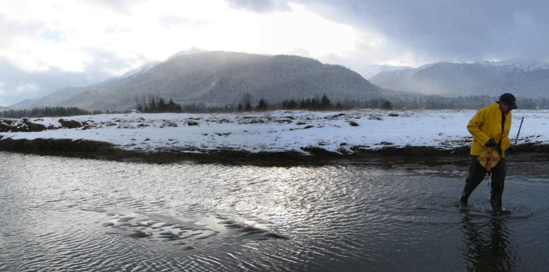
Constructed during World War II, the airport needed improvements to meet FAA Runway Safety Area requirements. Located at the confluence of the Buskin River with St. Paul Harbor, the site provides habitat to seven salmon species and the endangered Steller’s eider.
What is ESA doing to help?
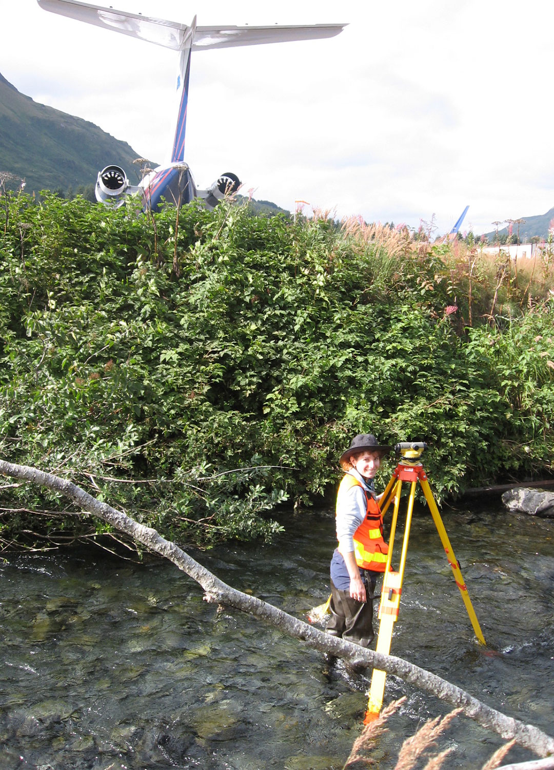
ESA led the analysis for wetlands and other waters, floodplains, and freshwater quality. We met with agency and other stakeholders in Kodiak to identify the challenges surrounding these areas, review available documents, and identify data gaps. Field staff performed a stream assessment of the adjacent Buskin River and Devil’s Creek, collecting cross section data, sampling bed materials for sieve analysis, and classifying geomorphic reaches. The data were used to develop a HEC-RAS model to map the 100-year and 10-year floodplains, describing flooding under both high- and low-tide conditions. Collaborating with coastal process modelers, we determined the combination of river and marine conditions that would result in overtopping the bar. The results of the stream assessment, modeling findings, and water quality research were combined into a water resources technical memorandum submitted to the FAA. Our team assisted the airport in conveying project findings to the community through public meeting facilitation, graphics, and presentations.
ESA’s expertise was integral to minimizing impacts to Alaska’s waterways while ensuring runway safety of this state-operated airport.