Why does this project matter?
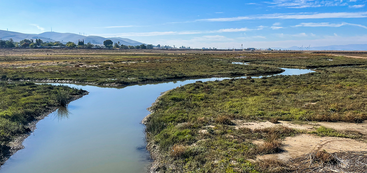
The project creates and enhances approximately 18 acres of tidal marsh and panne habitats and 10 acres of coastal grassland and coastal scrub along Suisun Bay at the midpoint of the San Francisco Bay Estuary and the Sacramento-San Joaquin River Delta. This restored gem showcases the convergence of saltwater and freshwater, giving rise to a dynamic and diverse ecosystem brimming with life. The project also serves as vital access to visitors for recreation and shoreline access to the historically disadvantages community of Bay Point.
What is ESA doing to help?
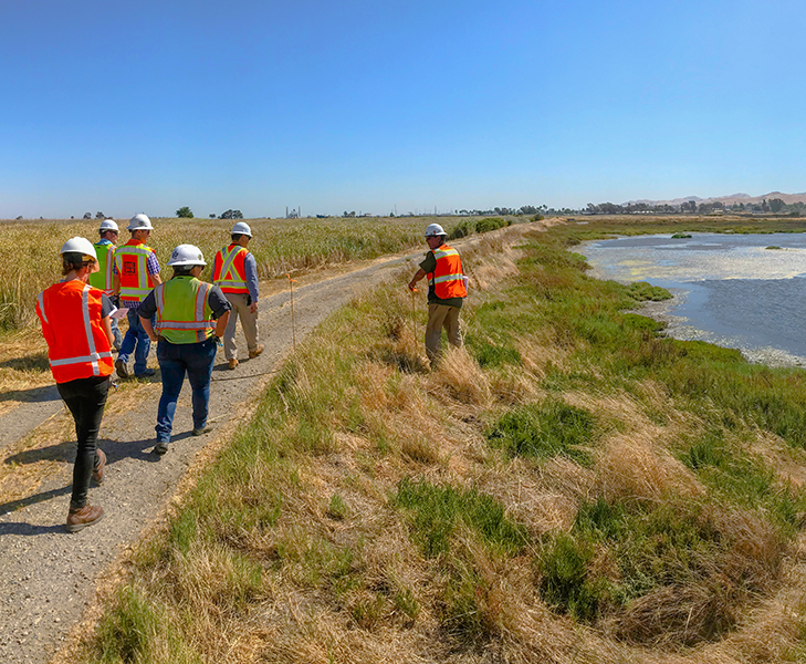
Situated in the Bay Point community along the south shore of Suisun Bay, the project focused on revitalizing a former tidal marsh that had been historically repurposed for sand dredging operations. The East Bay Regional Park District hired ESA to spearhead the restoration project, with ESA providing comprehensive services throughout the project lifecycle, including planning and analysis, design, permitting, and engineering support services during construction.
The project aimed to address habitat loss and fragmentation by creating an expanded tidal marsh, offering a vital refuge for various native and special-status species. A diversity of created and preserved habitats is interspersed throughout the restoration area providing a high level of habitat complexity at the site. Areas of higher ground are located adjacent to the restored marsh, affording high-tide refugia for terrestrial wildlife and room for the wetlands to expand inland as sea-levels rise. ESA’s expertise led to the implementation of enhancements such as raising the Harrier Trail to mitigate flooding risks and enhance sea-level rise resiliency. Additionally, the trail was surfaced to improve accessibility for visitors. ESA designed a new kayak launch to further enhance recreational opportunities, providing enhanced access for boating and fishing enthusiasts.
Throughout the project, ESA played a crucial role in navigating the complex permitting and regulatory compliance process. Through rigorous site surveys and effective coordination with regulatory agencies, including the U.S. Army Corps of Engineers, RWQCB, BCDC, USFWS, NMFS, and CDFW, ESA successfully presented the project at the interagency meetings and skillfully prepared permit applications to secure necessary approvals. Their efforts elevated the restoration and public access improvements, leaving a lasting positive impact on the habitat and the community.