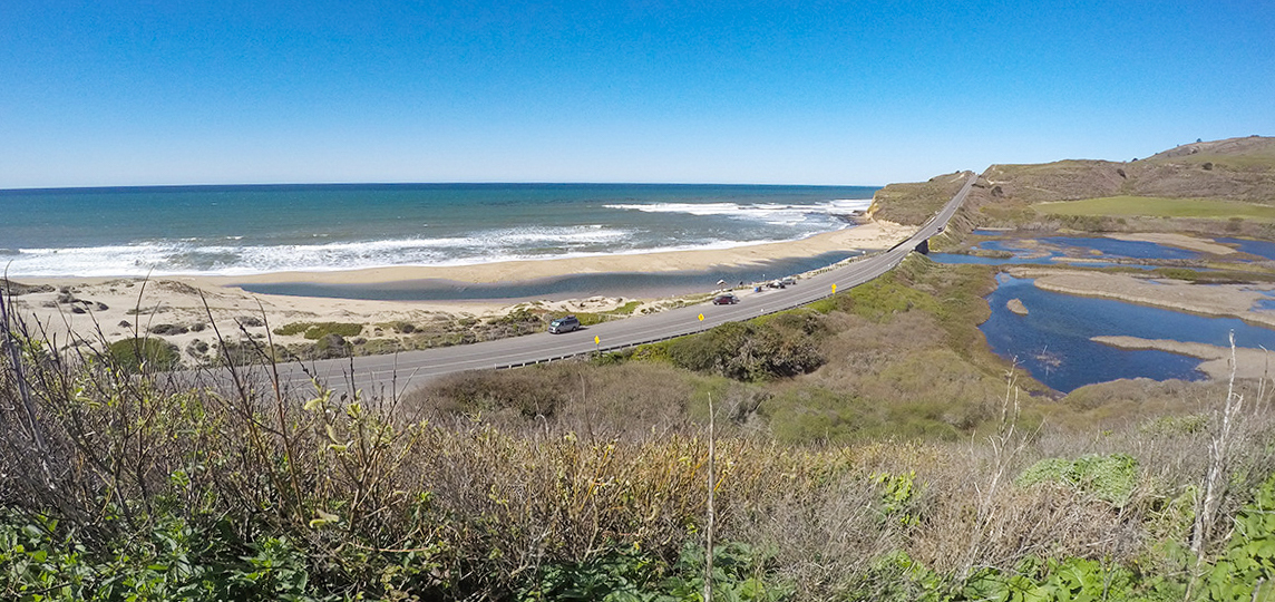
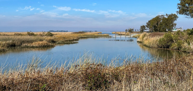
Identified as the National Oceanic and Atmospheric Administration’s (NOAA) number one priority for Central Coast Coho salmon recovery, the Scott Creek estuary is an iconic coastal wetland along Highway 1 that will be restored to improve ecological functions in the watershed while constructing more resilient infrastructure along the coast.
Why does this project matter?
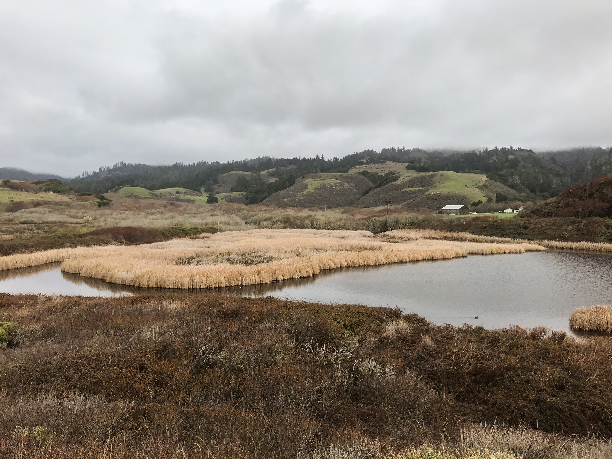
Scott Creek was severely impacted by construction of Hwy 1 in the 1930s, confining the original dynamic coastal lagoon and marsh into a single drainage channel under a small bridge crossing. This restoration project is one of the first of its kind in California: a complete redesign of the highway for sea-level rise adaptation, which will be a self-mitigating project by restoring the lagoon, marsh, and beach at the same time.
What is ESA doing to help?
Starting in 2010, ESA worked with Caltrans to assess the constraints of the existing bridges at Scott and Waddell Creeks and to identify opportunities for bridge replacements that would enhance and facilitate natural lagoon functions that benefit salmonids. The report identified historic coastal evolution, evaluated the current conditions and functioning of each lagoon, and identified the benefits and constraints for a suite of potential bridge designs.
ESA then collaborated with academic experts, regulatory agencies and other stakeholders (coordinated by the Santa Cruz County Resource Conservation District) to ground truth our results and identify preferred alternatives for each lagoon site.
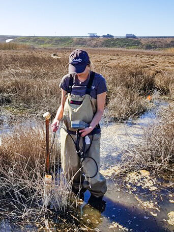
During early investigations, ESA conducted several groundwater salinity studies.
ESA helped to advance the project design at Scott Creek from 2013 to 2021. During this phase, ESA collected field data, including topo and bathymetric surveys, water levels, groundwater levels, and sedimentation data, and developed a suite of decision support tools to help assess the project alternatives, including numerical models of coastal erosion and flooding, a model of lagoon hydrology, a 2D hydraulic model of the creek, and a conceptual model of ecological response to physical conditions.
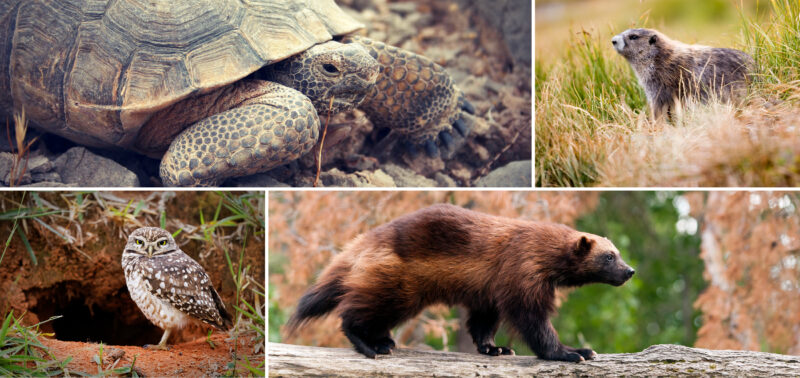
The ecological response model was based on life history and habitat requirements and seasonal use patterns of target-sensitive species (i.e., coho salmon, steelhead, California red-legged frog, tidewater goby, and western pond turtle).
In total, ESA’s services on the project have encompassed the joint expertise of ESA staff from many regions, including Northern and Southern California, and the Pacific Northwest.
The technical studies and modeling informed the advancement of the lagoon restoration portion of the project through 60%-complete construction documents, which were documented in a Basis of Design report and used to initiate discussions for permitting compliance. ESA is currently supporting Caltrans’ advancement of the bridge design by providing an assessment of coastal hazards with sea-level rise. In 2024 and 2025, ESA is scheduled to work with the Santa Cruz RCD, Caltrans, and other project partners to bring the design to completion.