Why does this project matter?
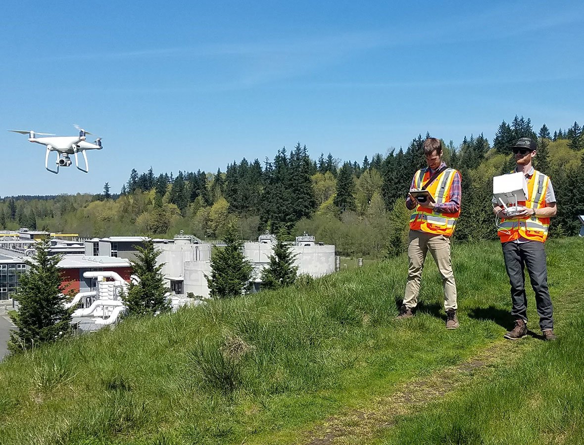
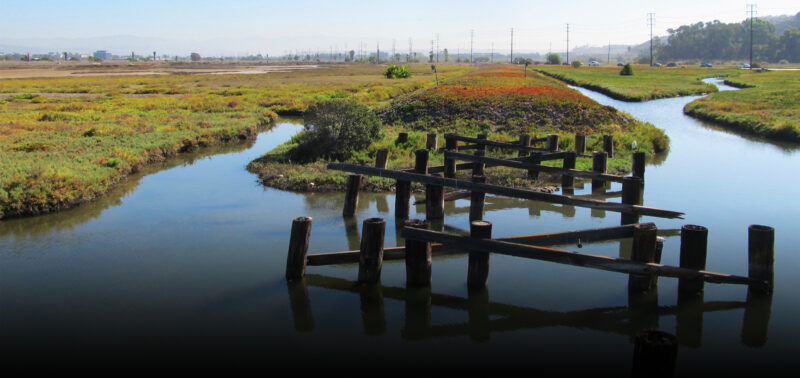
Aerial surveys are fast, cost-effective, and provide complementary real-time data for quick calculations of coverage to help determine permit compliance. Data can also be used to assess the accuracy of a site design vs. how it was actually restored.
What is ESA doing to help?
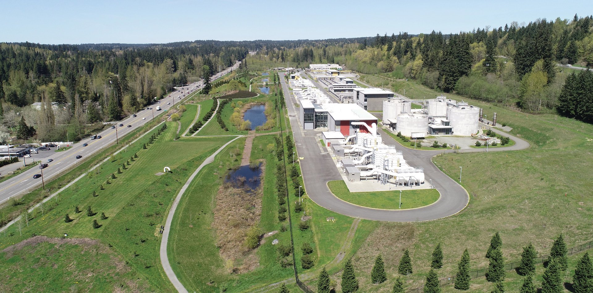
ESA worked with the King County Wastewater Treatment Division (WTD) Mitigation and Monitoring Program to use a small unmanned aerial vehicle (UAV) for evaluating three mitigation sites that are currently being maintained by program staff. The surveys, conducted during spring and summer periods, captured very high resolution orthorectified imagery that was used to quantify vegetative and non-vegetative cover types as part of site management and reporting. The processed orthomosaics and cover type classifications from the drone surveys will provide King County with the most up-to-date conditions at the sites, meet performance standards as per permit requirements, and streamline data collection for use in reporting.