Why does this project matter?
While the potential for increased predation with a structure like this was expected, specialized aquatic studies were needed to identify and record the nuanced effects of the drought barrier. By observing predation rates at specific times and conditions, it would be possible to mitigate these negative effects during construction or use this information to inform the design of the barrier in future years.
What is ESA doing to help?
In support of the project, DWR called upon the ICF ESA Joint Venture (ICF ESA JV) to provide predatory fish monitoring at the site, providing the ideal opportunity to study the levels of predation during and after the barrier’s construction in the hopes that we can help minimize the impact in future installations.
Timing was of the essence. The team mobilized quickly to the field in response to this request to gather as much data as possible during the barrier’s construction process. In less than seven calendar days, a draft study plan was prepared and the team was fully mobilized and conducting our first test runs.
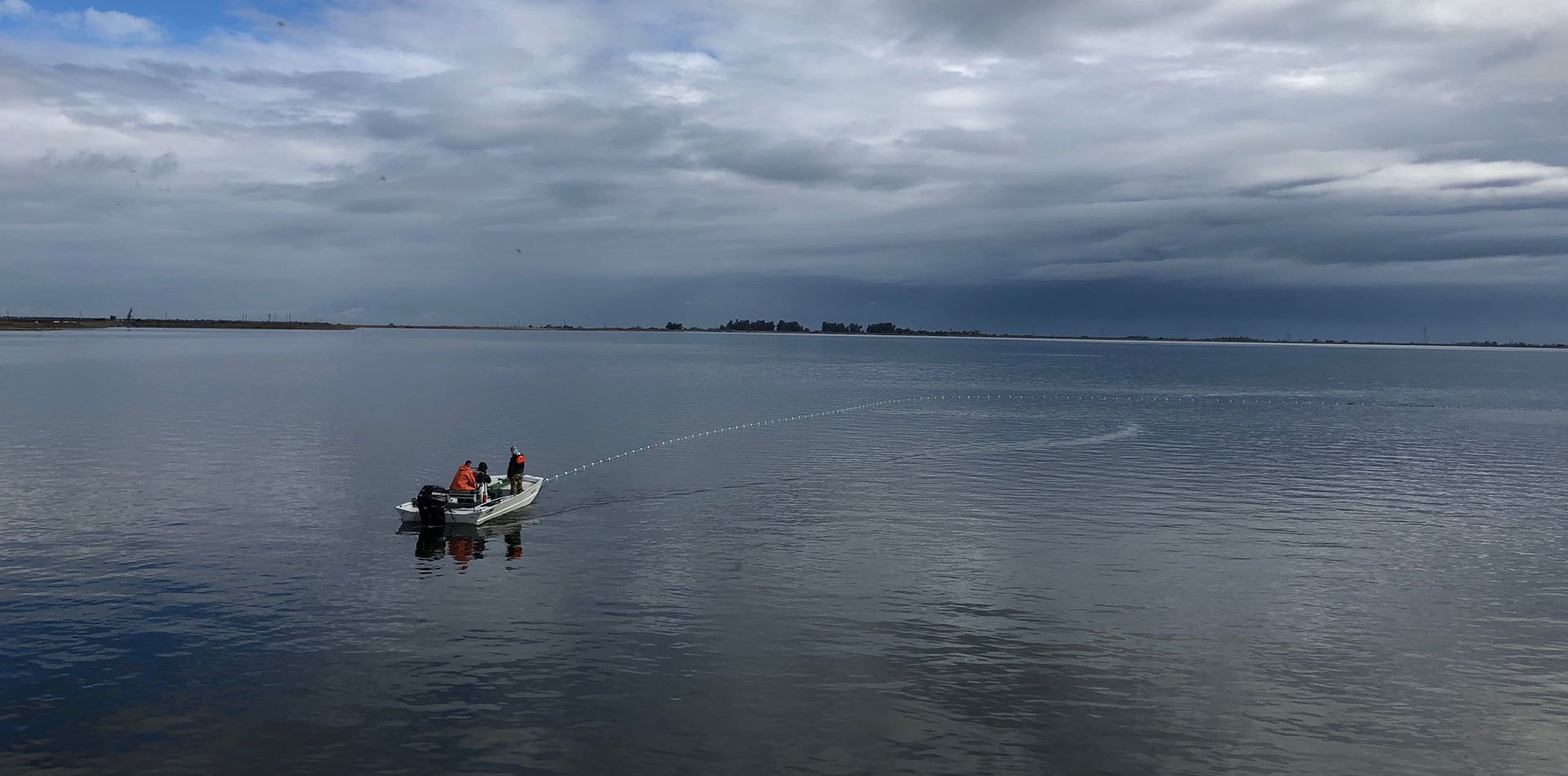
Drastic times call for innovation, and in this situation it came in the form of 30 hand-fabricated predation event recorders (PERs). Gleaning the design and assembly details from long-time PERs users from NMFS and UC Santa Cruz (and the very scientists who coined the term “PERs”), ICF ESA JV fisheries biologists assembled these data-capturing buoys that record the time and location when they are struck by a predatory fish.
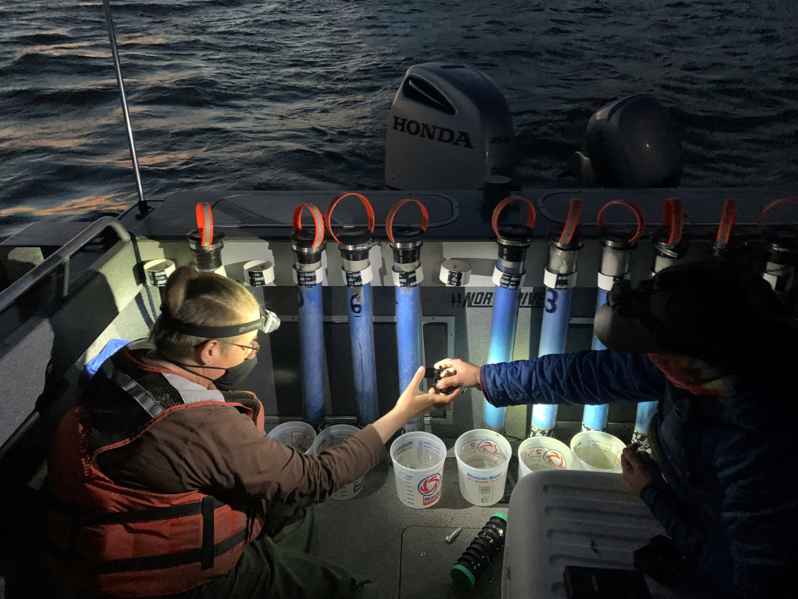
The process essentially involves tethering prey fish to the bottom of a buoy with a magnetic trigger and set it about two feet below the water’s surface. When that fish is pulled off the tether, the magnet will decouple and provide a timestamp, which is then paired with the location data from the on-board GPS unit to provide an exact time and location of the predation event.
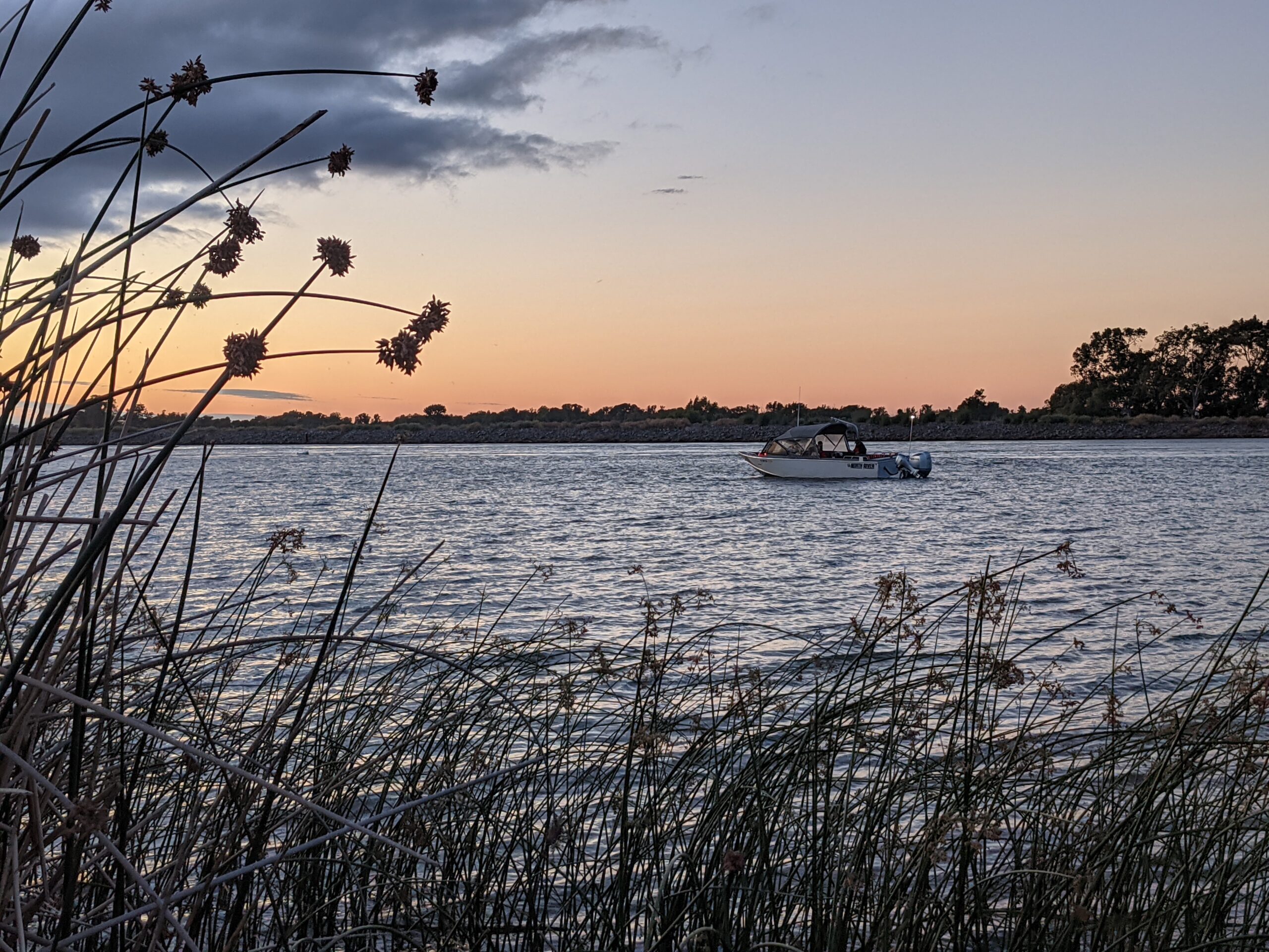
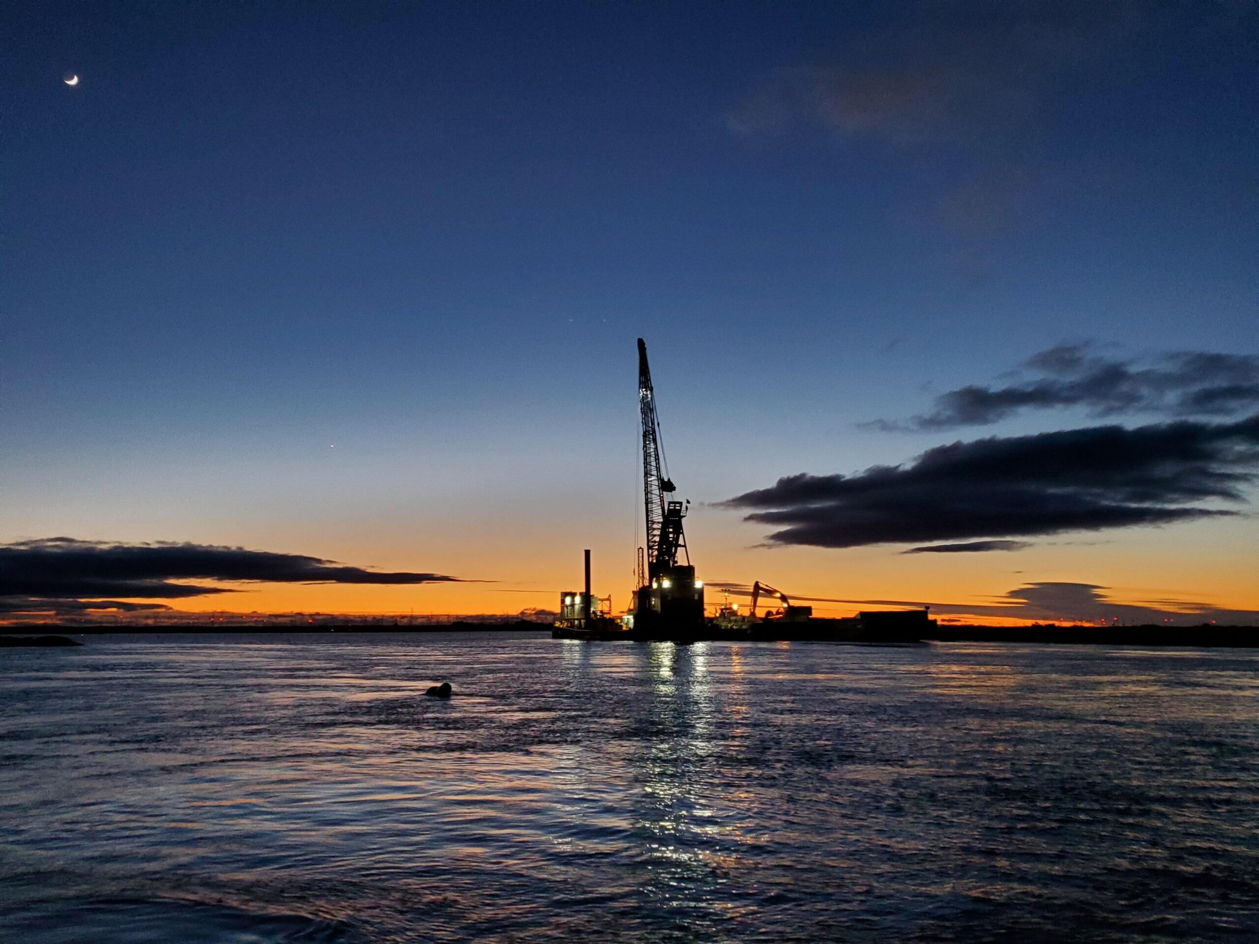
The ICF ESA JV team deployed PERs units every night for four weeks both before and during construction and conducted 10 more weeks of sampling after construction was completed. The goal was to record 600 minutes of “float time” each day. The monitoring takes place after sunset, when predation tends to naturally uptick. With GPS and time data, the team can map the predation events and take into consideration the change in tide, location of eddies or narrow channels, vegetative cover, and the impacts of the lights from the construction crane.