ESA helps clients understand, interpret, and communicate spatial information across a range of environmental applications.
We provide a variety of geospatial services to effectively capture, inventory, analyze, visualize, and manage information through the project life cycle and beyond. Supporting all of ESA’s practice groups, our geospatial team works closely with hydrologists, scientists, and engineers to strategize and solve complex issues while incorporating state-of-the-art technologies. We employ a detailed focus on client and project requirements to ensure cartographic design, visualizations, and geodata tools are valuable as either companion or stand-alone products.
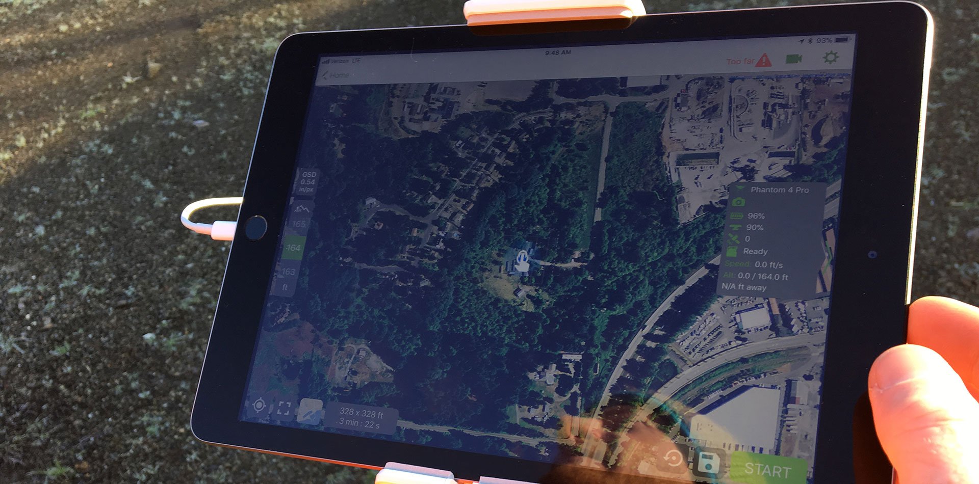
From real-time field data tracking to high-quality cartographic maps for environmental reporting to advanced remote sensing and image processing of drone data fed into interactive online applications―we implement practical and proven solutions to meet end-users’ needs.
Our Expertise Covers: