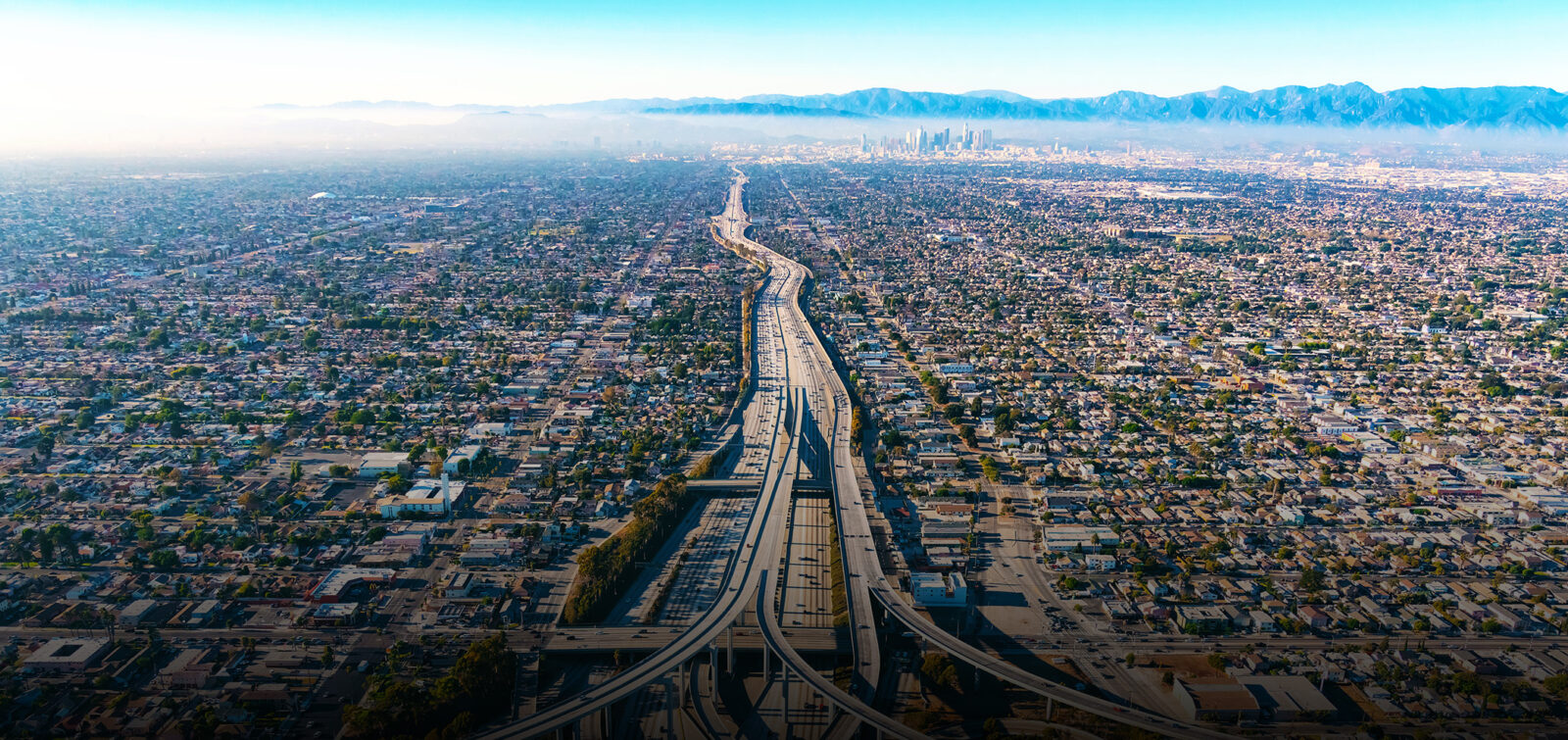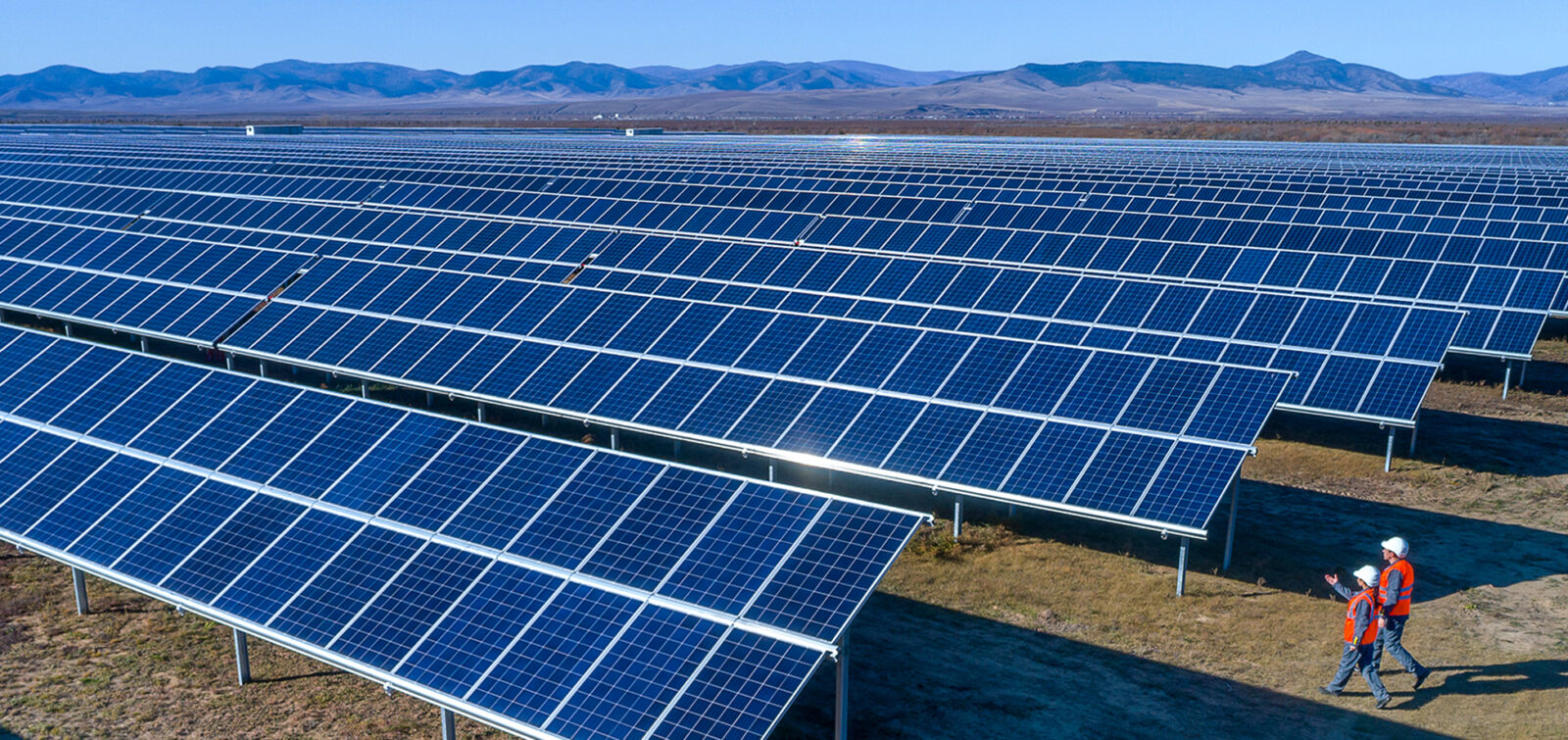
Photovoltaic (PV) solar facilities are a key element to meeting growing energy demand and achieving state and federal goals for clean power. However, industrial-scale solar facilities often have an expansive footprint. As with any large infrastructure project, developments of that scale can have direct and indirect effects on sensitive habitat. For solar projects being planned in the deserts of the Southwest, one of the less obvious indirect impacts is the disruption of natural wind-blown sand transport across the landscape.
Resource agencies, such as the U.S. Bureau of Land Management (BLM), are increasingly requiring evaluation of potential impacts on so called “sand transport” during project planning and permitting. Because this assessment requires rather unique qualifications, this can leave solar power developers scrambling to find qualified consultants. Fortunately, ESA has this expertise in-house.
When conducted effectively, sand transport studies offer solar project proponents with a defensible, data-driven basis for environmental review and permit approvals. This supports a more streamlined path through agency consultation, while helping protect sensitive dune systems and the species that depend on them.
Life in the Dunes
Desert sand dunes support unique habitats, including several federally and state-listed or petitioned species. In California’s Mojave Desert, these include the Mojave fringe-toed lizard (Uma scoparia) and white-margined penstemon (Penstemon albomarginatus); in Nevada, dunes support Giuliani’s dune scarab beetle (Pseudocotalpa giulianii).


From left, Giuliani’s dune scarab beetle, and the Mojave fringe-toed lizard. Credit: Matt Berger/iNaturalist, and Isaac Krone/iNaturalist.
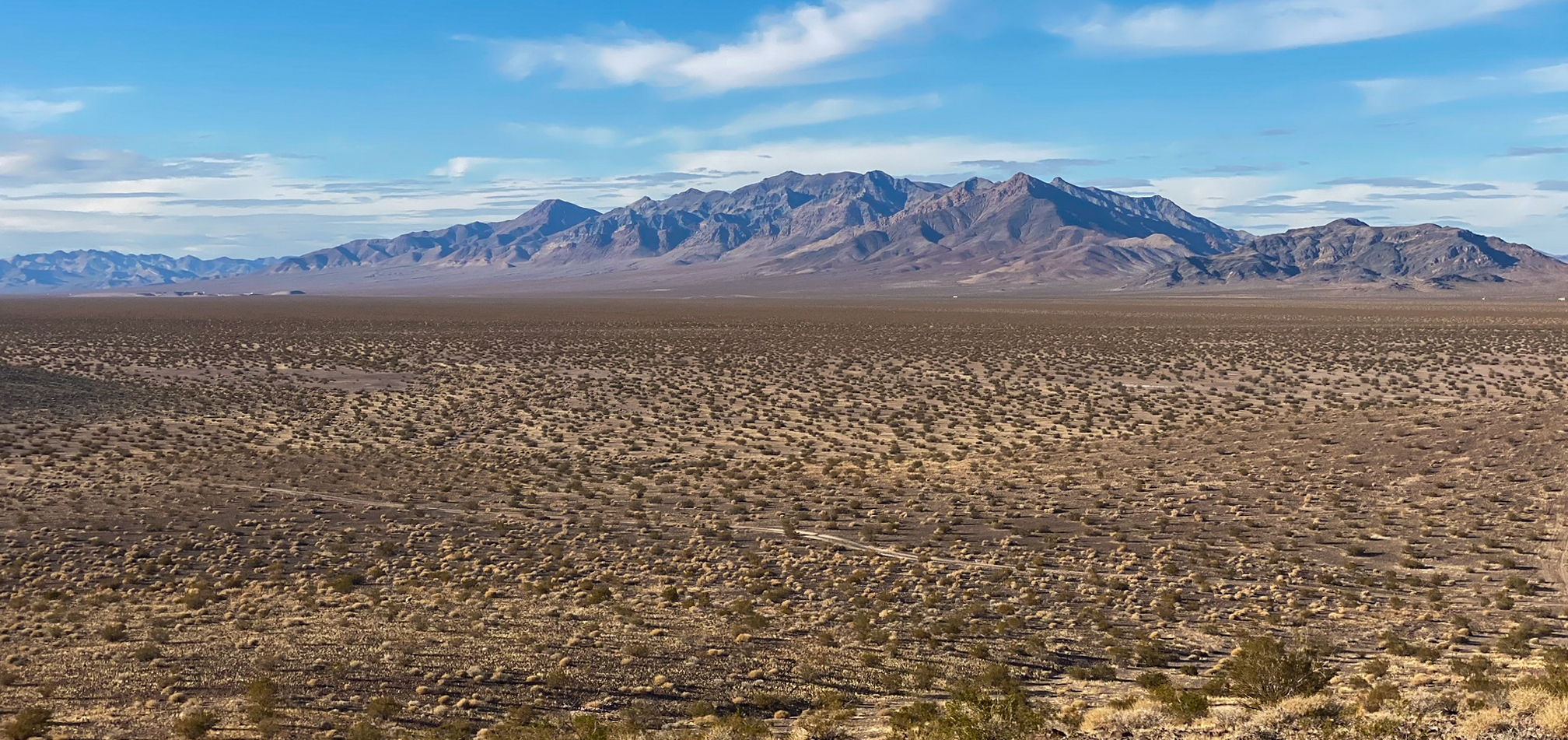
Just as rivers transport sediment to habitats in bays and estuaries, the deserts of the Southwest are crisscrossed by networks of sand transport corridors that supply wind-blown sand to dune habitats. Unlike rivers, however, sand transport corridors are not confined by topography; they can cross drainage divides and shift or even reverse direction with seasonal wind patterns, making them challenging to analyze. Development, such as industrial-scale solar facilities, can potentially disrupt or block a sand transport corridor, causing the dunes downwind to deflate. If more sand is lost than supplied from upwind, the dunes shrink in size and thickness, potentially displacing burrowing animals such as the fringe-toed lizard.
Assessing Sand Transport
Assessing the potential effect of a large infrastructure project on dune habitat draws on aeolian geomorphology—the study of wind-shaped landscapes. Demand for this work is growing as BLM asks developers to assess sand transport as part of environmental review for leases on public lands.
Dr. Andy Collison, an eolian and fluvial geomorphologist, has conducted numerous sand transport studies throughout his career, leads ESA’s work in this area. ESA recently completed a sand transport study for a proposed project in Nevada’s Amargosa Valley, a designated BLM Solar Energy Zone bordering California’s Death Valley National Park. As part of the review process, BLM asked the applicant to demonstrate that the project would not disrupt sand transport to Big Dunes and Lava Dunes, nearby habitats for Giuliani’s dune scarab beetle. Because of the relatively unusual nature of the study, ESA collaborated closely with BLM, the applicant, and the project’s prime consultant to finalize a study plan that met regulatory and project needs.
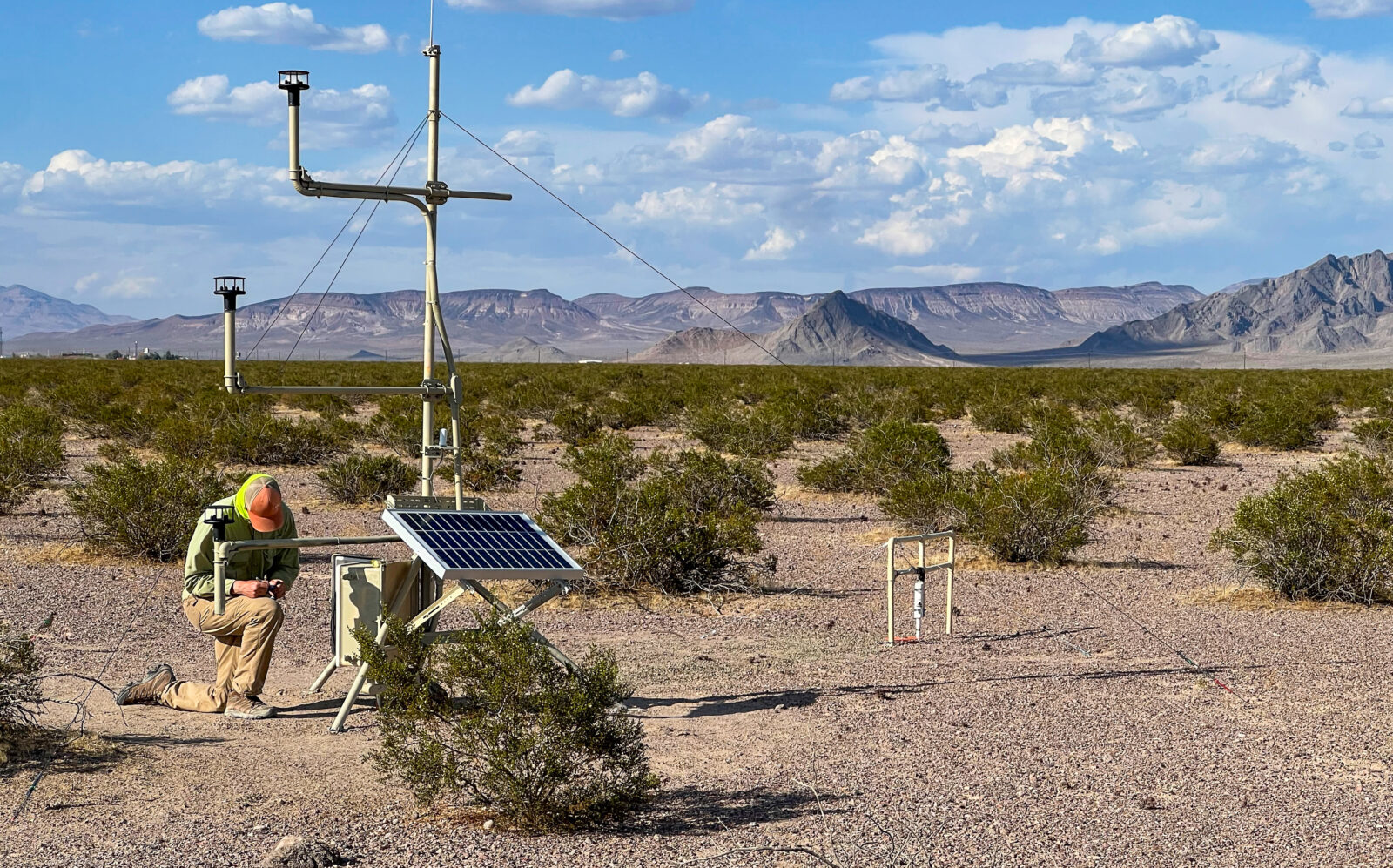
ESA completed a geomorphic assessment of the project site and surrounding landscape to identify the pathways sand follows to reach Big Dunes and Lava Dunes. To characterize the seasonal shifts in sand transport direction and intensity, hydrologists Damien Kunz and Max Morrison installed weather stations across the Amargosa Valley to measure wind speed and direction over the course of a year. The team also deployed sensors that directly detect the impact of individual grains of sand as they roll and bounce across the desert surface. By correlating the number and intensity of sand grain strikes with wind speed and direction, ESA identified sand sources and transport pathways, then overlaid them on the proposed project footprint to evaluate potential disruption. ESA has also developed a proprietary computer model that enables clients to test alternative site footprints and estimate effects on downwind sand movement. The model provides a cost-effective way to identify and avoid or minimize potential project impacts early in the planning and design process.
A Partner for Desert Energy Development
By identifying sand sources, pathways, and potential project interactions, these analyses help reduce regulatory uncertainty, inform footprint siting and design to avoid or minimize impacts, and support practical mitigation measures where needed. Sand transport studies are one example of the suite of services that ESA can provide for energy project developers navigating the increasingly complex world of planning and permitting. For more information on sand transport and desert hydrology, contact Dr. Andy Collison.

Dr. Andy Collison, an eolian and fluvial geomorphologist, studied aeolian geomorphology as a student at University College London, which, despite its unlikely location, is a leading center for studies in desert landscapes. Dr. Collison carried out several wind-blown sand studies in the Mojave Desert for the California Public Utilities Commission during the first solar-development boom around 2008–2010 for proposed projects at the Genesis, Palen, Rice, and Calico sites.
Author
Fluvial Geomorphologist
Date
June 29, 2026