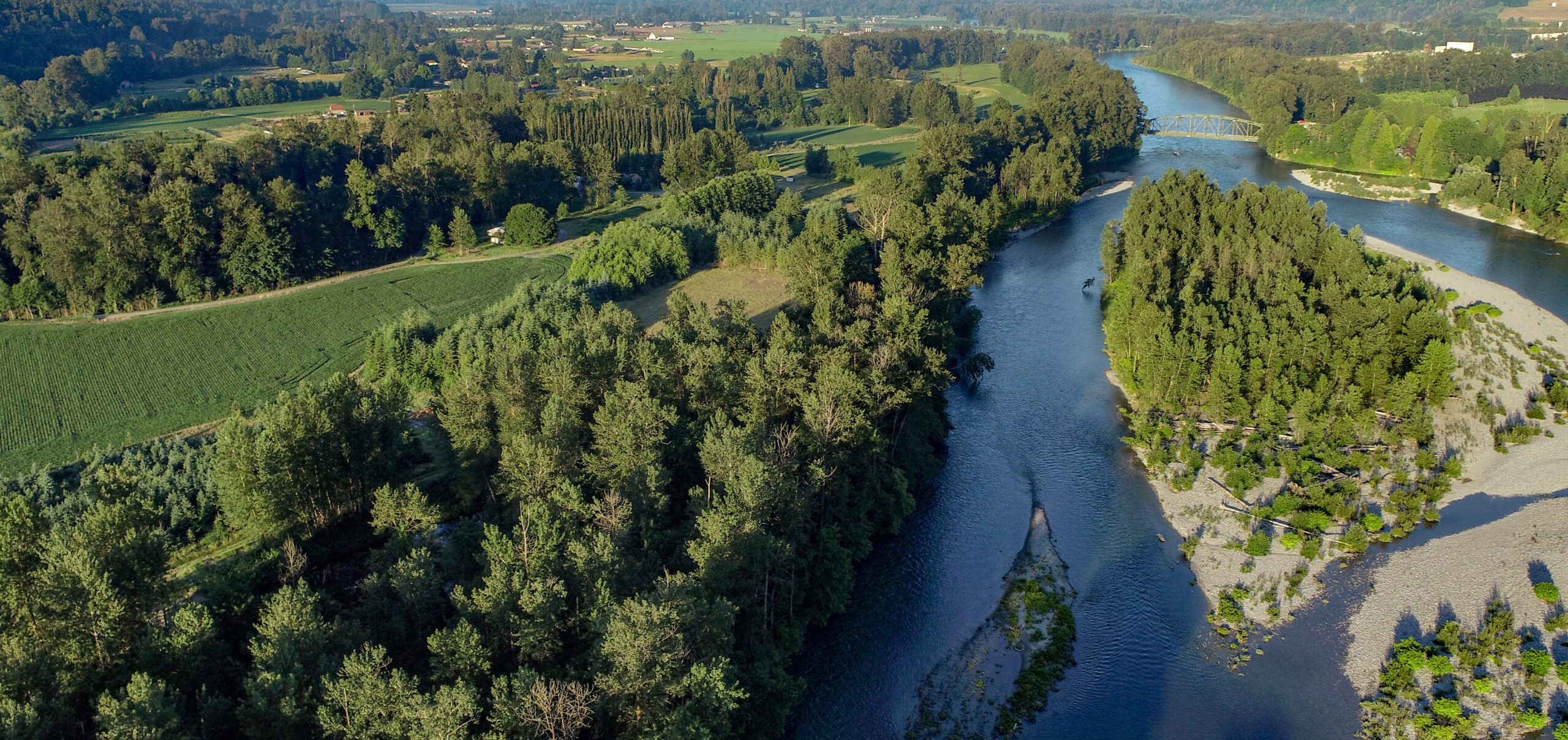
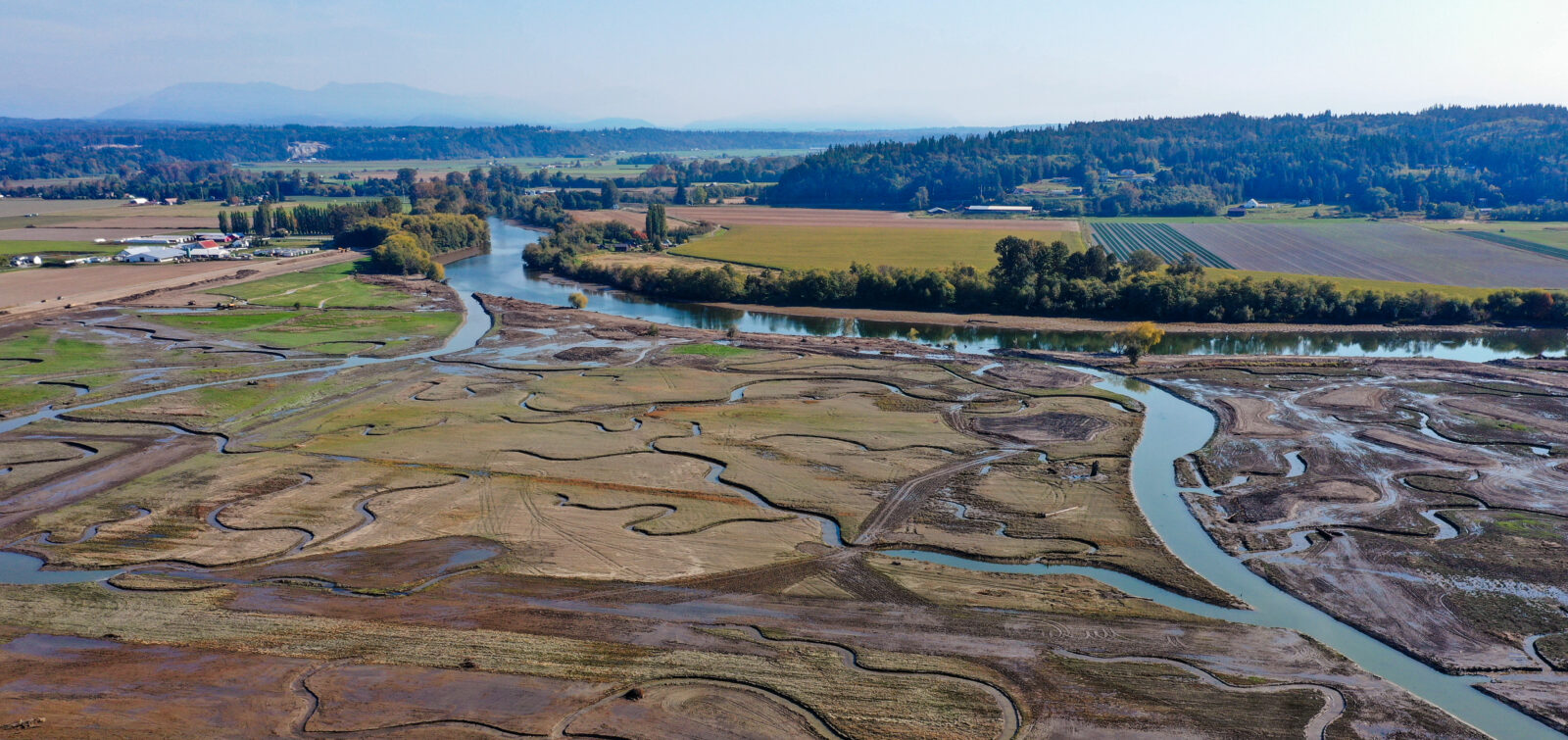
Riparian ecosystems play a critical role in the landscape by supporting key ecological processes and functions that sustain both aquatic and terrestrial habitats. These transitional zones, typically located along rivers, streams, and other flowing waterways, connect land and water systems; they regulate stream temperature, filter runoff, stabilize banks, and contribute organic material that supports biodiversity.
The Riparian Data Engine (RDE) is a spatial decision-support tool designed to help identify, prioritize, and coordinate riparian restoration efforts across Washington State. Led by the Washington Department of Fish and Wildlife (WDFW) and developed by the Technology Services team at Environmental Science Associates (ESA), the RDE offers WDFW and its partners the most comprehensive, data-driven platform to evaluate current riparian conditions and support planning at multiple spatial scales.
Why the RDE Matters

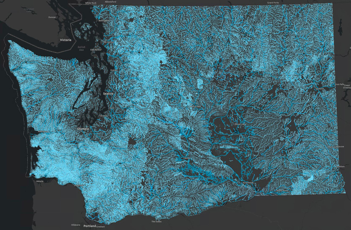
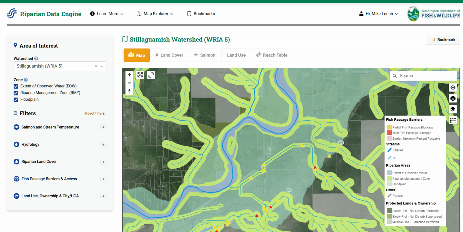
The RDE amalgamates land cover, stream and fish data, impairments due to water temperature, fish passage barriers, land use, and administrative boundaries into a single, interactive platform. This unified view allows practitioners—including watershed and conservation managers, land use planners, Tribes, scientists, and others responsible for identifying, prioritizing, and implementing restoration across the state—to identify where vegetative cover is missing, where shade is insufficient to maintain cool water needed for salmon, and where physical barriers interrupt fish migration—all at multiple spatial scales.
In a recent WDFW article, Maddie Nolan, chief scientist of their Habitat Program, said, “The Riparian Data Engine helps maximize the effectiveness of the money the state and countless others have already invested in riparian ecosystems. As a result, it also means future on-the-ground restoration efforts can target the highest-priority areas for recovery.”
ESA’s Role in Building the RDE
ESA has been involved from the start, collaborating with WDFW’s technical staff to define system requirements and assemble foundational components. ESA developed the initial database architecture, set up automated data pipelines, and created early visual prototypes.
ESA’s team of system architects and developers expanded outreach to include Tribal resource managers, policymakers, scientists, and planners in partnership with the state’s Recreation and Conservation Office, the Washington State Conservation Commission, lead entities, and conservation districts. Their goal: align the RDE’s functionality with real-world needs through inclusive engagement and user feedback loops.
By 2024, the RDE began to take shape, with ESA delivering a custom spatial decision-support platform complete with search, filter, and summarization tools at multiple spatial scales. This enabled users—from local restoration practitioners to policymakers—to explore riparian conditions down to the stream reach level and plan interventions more strategically.
Features that Make the RDE Powerful
Interactive maps allow users to pinpoint zones lacking vegetation, water temperature hotspots, and fish passage barriers—visual insights that enable targeted restoration. The platform supports multiscale analysis, enabling users to evaluate data across reaches, sub-watersheds, or entire river networks.
This reveals connectivity and restoration opportunities that weren’t previously visible. Robust search, filtering, and summarization tools help users tailor queries to locate areas based on vegetative cover, species presence, impairment type, or jurisdictional boundaries. The tool’s user base spans from on-the-ground restoration staff (like salmon recovery lead entities and conservation district teams) to regional funders and policy advisors (including the state legislature and Riparian Roundtable).
Building through Collaboration and Iteration
The RDE was built through a series of workshops and prototyping exercises. Starting in late 2023 and continuing through spring 2024, ESA and WDFW hosted focus groups and interactive sessions to refine the user experience and scope of the platform. These sessions resulted in a tool grounded in practical needs and guided by real-world use cases such as informing restoration-funding decisions, crafting legislative strategies, and identifying landowners for incentive programs.
From Internal Tool to Public Platform
The RDE was launched publicly on July 1, 2025, making it accessible to Tribes, planners, conservation districts, and private landowners across Washington. It stands as a milestone in modern conservation planning and an example of how spatial data, technical collaboration, and stakeholder input can merge into a powerful resource. The ability to assess, prioritize, and visualize riparian health will help accelerate habitat recovery, connect communities, and ensure a resilient future for salmon and Washington’s ecosystems.
ESA is proud to have partnered with WDFW, working side-by-side to build a tool that empowers smart, efficient, and equity-focused decision-making. The journey continues: with the RDE now live, people across the state are equipped to bring riparian restoration into sharper focus and into action. Looking ahead, WDFW is planning regular updates to the RDE’s data layers, but acknowledges that continuous improvements will require sustained funding beyond 2026.
If you have questions about the RDE or want to learn more about ESA’s technology and data management consulting, design, and development service offerings, please reach out to Mike Leech, Technology Services Practice Leader.
