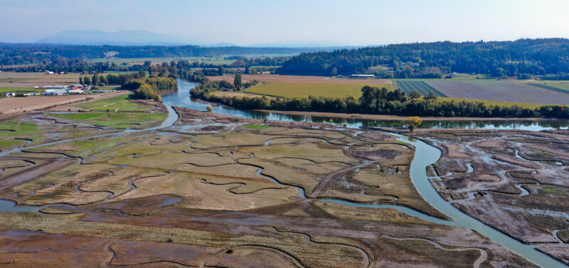
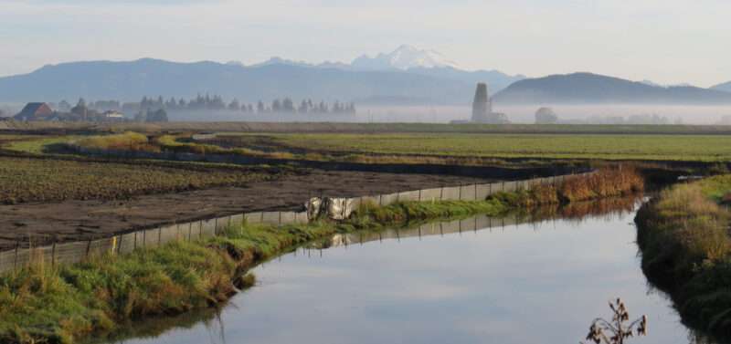
ESA is leading dozens of restoration projects across the Pacific Northwest, in collaboration with tribes...
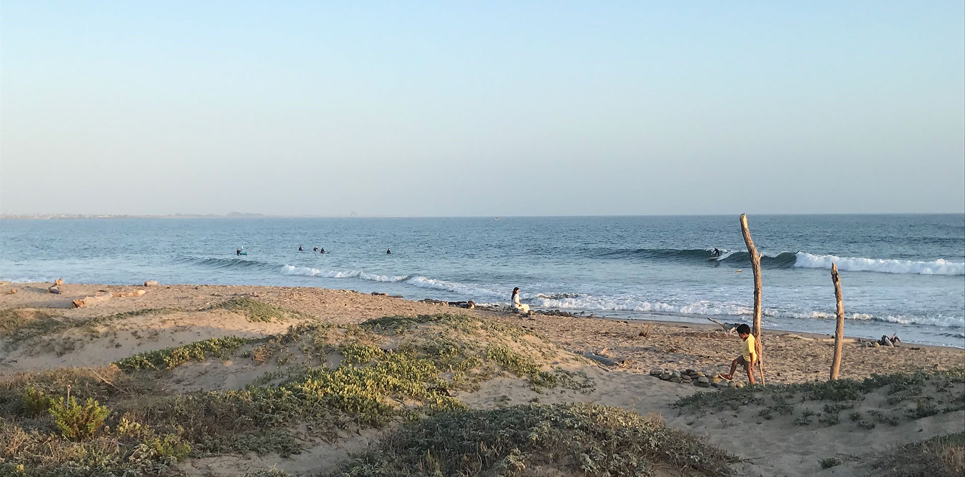
Surfers Point Shoreline Management
The long-term goal of the Surfers Point project is to create a resilient coastline that protects infrastructure, ensures public access, and restores natural habitats against sea level rise and erosion.
Why does this project matter?
The City of Ventura collaborated with a working group that included Surfrider Foundation Ventura Chapter, BEACON, California Coastal Conservancy, Ventura County Fairgrounds, and others, to guide the design and implementation of a multi-objective, long-term solution for the restoration of Surfers’ Point.
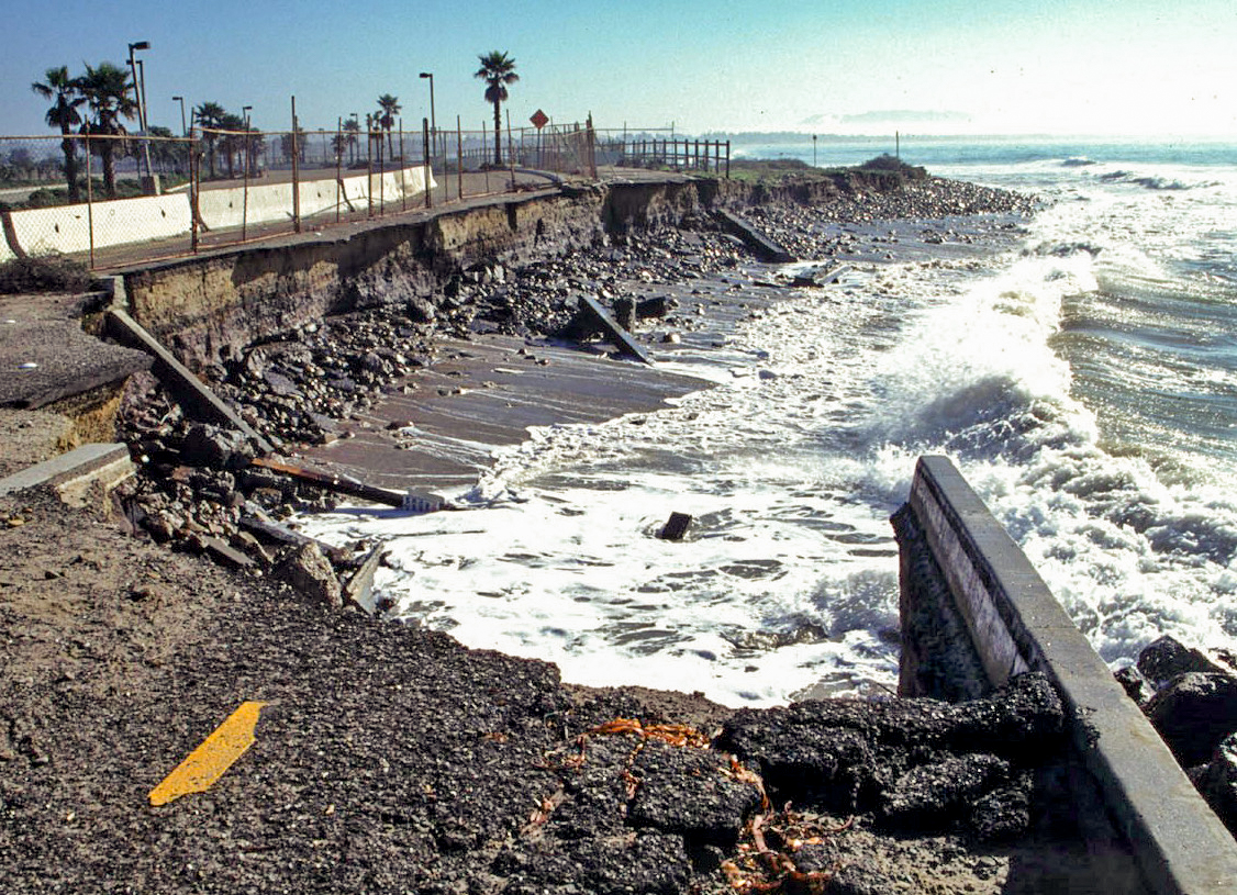
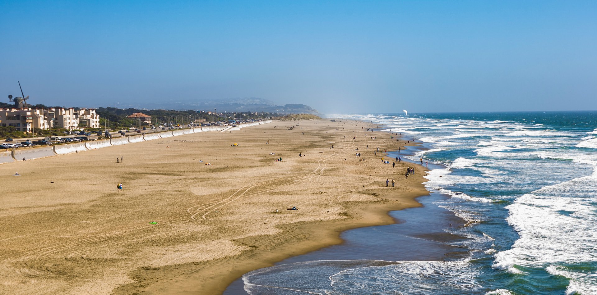
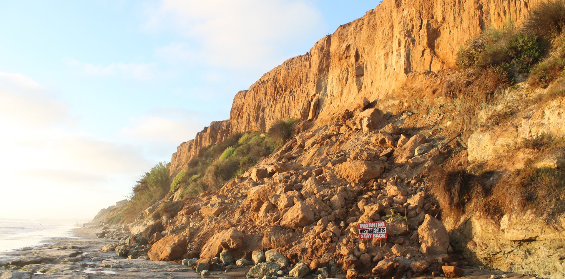
This popular public access point for coastal recreation was impacted by erosion, and functioned in a degraded state for decades. The Surfers Point Managed Shoreline Retreat project relocated the coastal trail and parking landward by up to 80 feet and restored the back beach with a cobble berm overlaid with vegetated sand dunes, effectively widening the beach to a naturally resilient form and locating infrastructure away from coastal hazards.
The project is widely referenced as a model for managed retreat and was highlighted as a case study for natural shoreline infrastructure as part of California’s 4th Assessment of Climate Change.
What is ESA doing to help?
ESA led the waterside design of the innovative and publicized Surfers Point Managed Shoreline Retreat project. The project was split into two phases along adjacent reaches of the shore to accommodate available construction funding.
In Phase 1, ESA provided final design drawings for the restored cobble berm and dunes, developed construction plans and specifications for the waterside design, and offered on-site engineering support during construction. The team utilized the dune design inspired by the nearby reference site at Emma Wood State Park. The dune seeding was carried out using a volunteer-based approach led by the Surfrider Foundation.
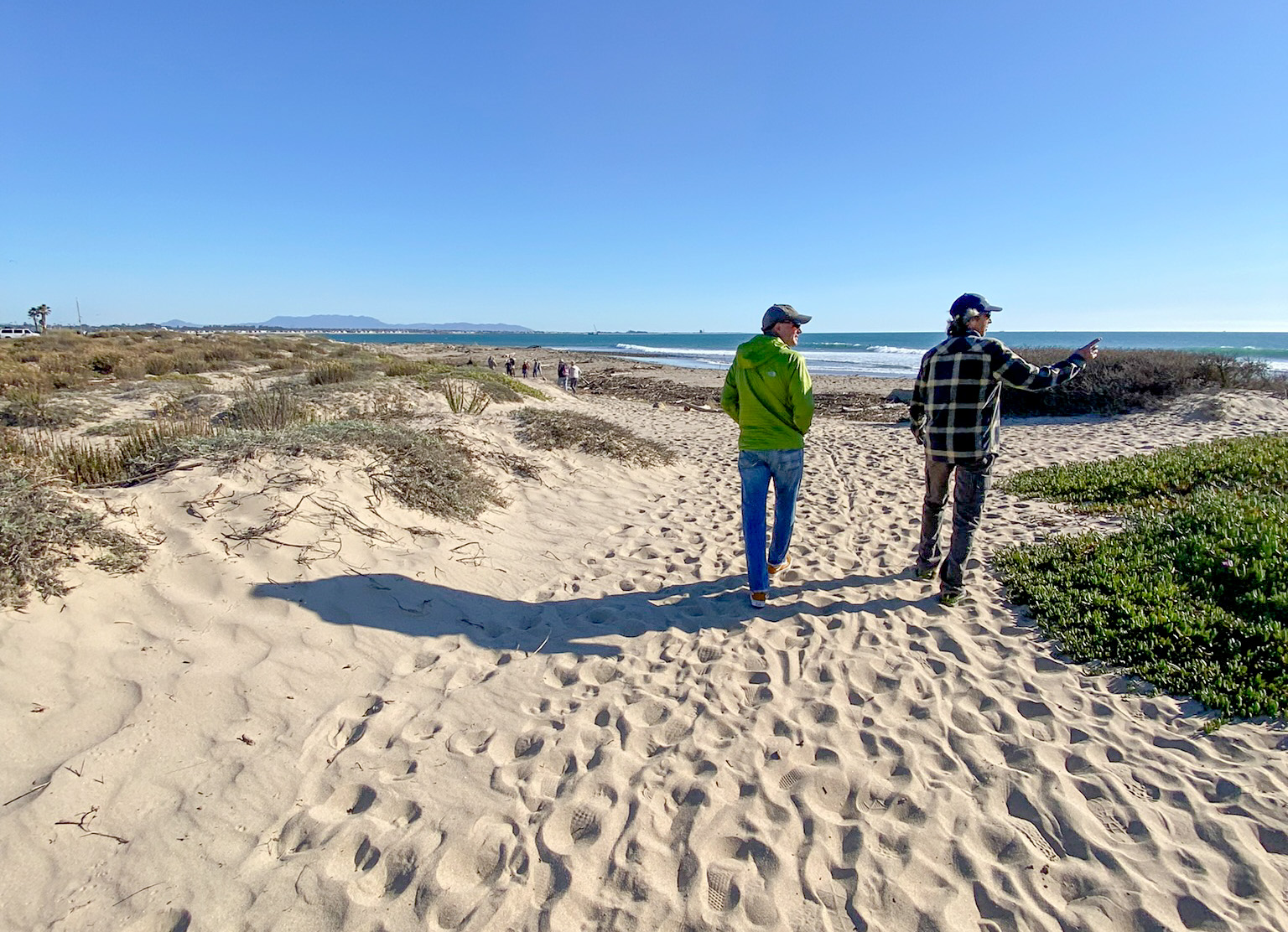 ESA engineers lead a site tour during the California Shore and Beach Preservation Association (CSBPA) Conference in 2023.
In preparation for Phase 2, ESA has been conducting post-construction monitoring over the past decade. The team has collaborated with the City survey crew to gather topographic data and produce annual monitoring reports, ensuring the project’s ongoing success and facilitating continuous learning. Additionally, ESA engineers have finalized the engineering design documents for the waterside components of Phase 2 and provided essential permit support.
Connect with our team
Details
Client City of Ventura
Location San Buenaventura, California
Market Natural Resource Management
Services
Coastal Zone Engineering & Management
Community Planning & Design
Construction Compliance Monitoring
Flood & Stormwater Management
Hydrology, Hydraulics & Geomorphology
Restoration
Coastal Restoration
Notable
2025 American Shore & Beach Preservation Association Robert L. Wiegel Coastal Project Award
2012 American Society of Engineers Region 9 Outstanding Bikeways & Trails Project Award
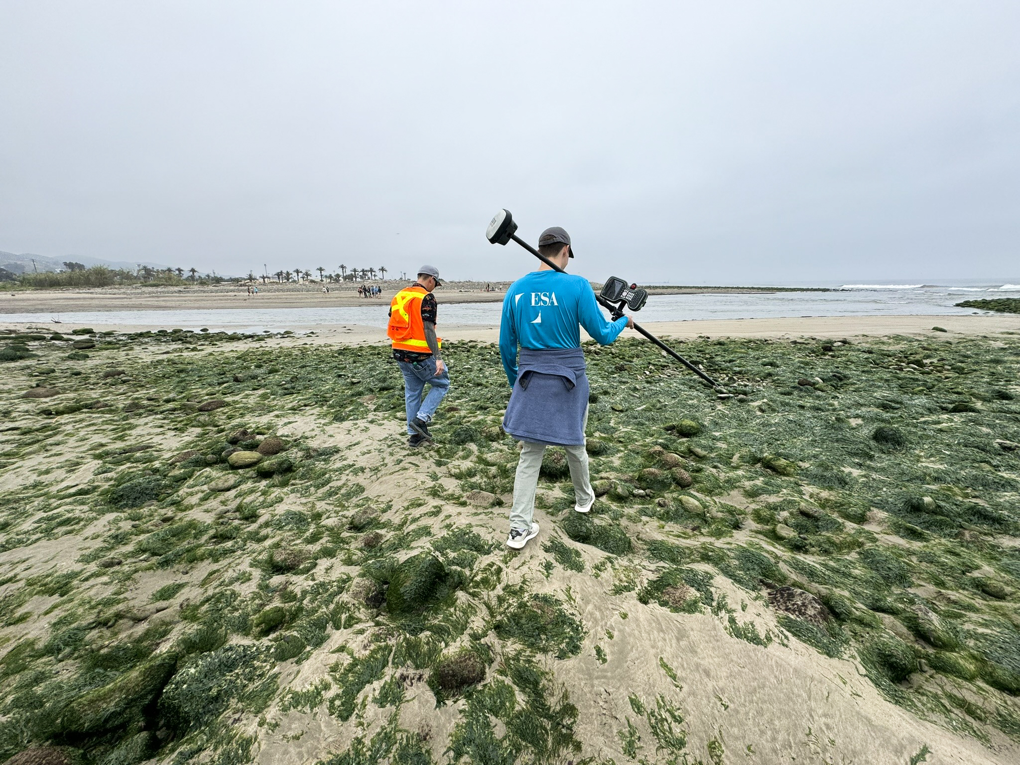
ESA and the City survey team working together to gather topographic data at the mouth of the Santa Clara River.
Similar Projects
News & Ideas
ESA is pleased to sponsor, present, and attend the 2025 Floodplain Management Association (FMA) Annual...
ESA is proud to be a Gold Sponsor for this event – one we look...
ESA is pleased to sponsor, present, and attend this year’s 42nd Annual Salmonid Restoration Conference...
ESA is pleased to announce that Jorgen Blomberg has been selected to lead the firm’s...
According to the Department of Water Resources’ Water Year 2023 report, the State of California...
