Do you remember the days when we would have to get turn-by-turn directions from an actual person? Since Google Maps was initially launched in February 2005, the use of geospatial science has become mainstream for all of us. In fact, one billion people use Google Maps every month.
These days, especially in the realm of environmental science, there are many important uses for map-based technology. ESA’s robust suite of geospatial services helps clients understand, interpret, and communicate spatial information across a range of environmental applications. For example, spatial epidemiology.
What is “spatial epidemiology”?
According to Environmental Health Perspectives, spatial epidemiology is “the description and analysis of geographic variations in disease with respect to demographic, environmental, behavioral, socioeconomic, genetic, and infectious risk factors.”
Enter Justin Saarinen, Senior GIS Analyst in our Sarasota, FL, office. Before joining ESA, Saarinen was a research professor at the New College of Florida, specializing in geography. This position aligned him with the research community; he was most recently an integral part of a team of scientific researchers, led by the University of California, Davis, U.S. Geological Survey and the Monterey Bay Aquarium.
With this team, Saarinen recently co-authored a research paper published by Nature’s Scientific Reports titled “Spatial epidemiological patterns suggest mechanisms of land-sea transmission for Sarcocystis neurona in a coastal marine mammal.” This paper is based on work the same research group published in 2018 in Royal Society Open Science about Toxoplasma gondii transmission.
“What is great about this research is not only that it is novel work,” Saarinen explains. “It is important because it continues to bring meaningful spatial thinking to endangered species research and, in this case, disease transmission.”
Letting the data points lead the way
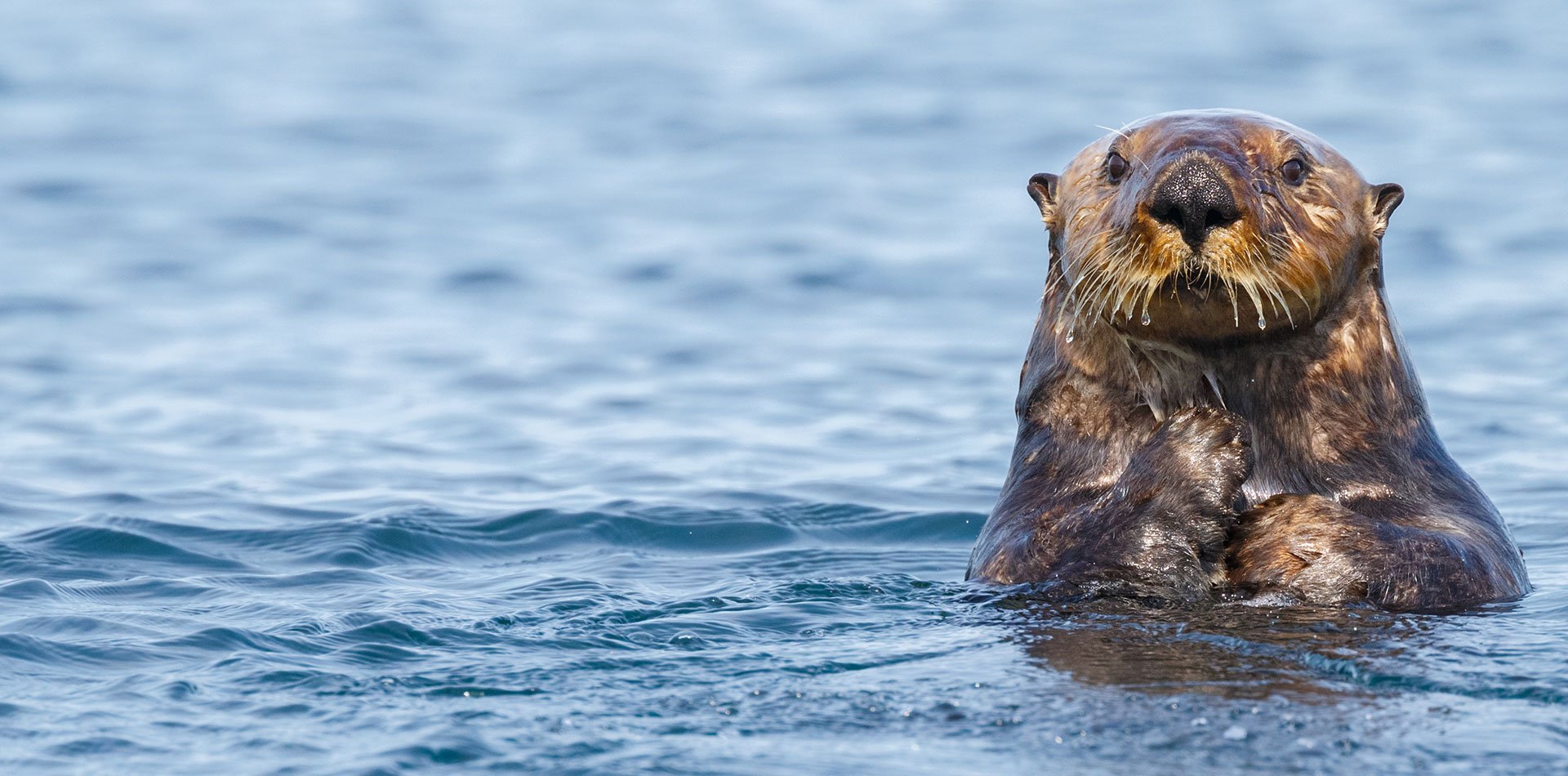
Saarinen and team provided extensive research in an effort to assist the U.S. Geological Survey’s Nearshore Ecosystem Project, which focuses on the federally endangered sea otters (Enhydra lutris) that live in a large swath of habitat ranging from Alaska, around the Pacific Rim, and down to Baja California. Generally speaking, sea otters are divided into the northern and southern subspecies, primarily separated by the Columbia River delta.
Sea otter biologists noticed an alarming fact: while both populations are protected under the same laws (including protected habitat for marine mammal refuge), there are significant differences in the densities and population trajectories of the northern and southern populations. What could explain these differences? Saarinen helped provide perspective about the immediate coastal landscape, and discussed methods to spatially quantify various factors along this geographic gradient, such as land cover, human population demographics, and the associated pollution to the otter’s habitat in the marine nearshore.
During capture events, blood samples of captured sea otters are collected by wildlife veterinarians and biologists. After testing these samples, the researchers found a higher prevalence of some infections in certain regions. The spatial distribution of infection prevalence raised questions about what factors could be causing the drastic differences between study areas.
The recent study reports a significant association between higher risk of S. neurona infection in sea otters and higher density of human population onshore. This may be because anywhere there were more people, there were higher incidents of opossum hosts of this parasite and hence greater infection risk for sea otters. Higher infection risk was also found near areas with more cropping land and wetlands, possibly because these areas provide better habitat for opossums. A picture is emerging of a transmission pathway through the food web as sporocysts wash down rivers and concentrate in clams and other bi-valves that compose much of the diet of some southern sea otters.
What’s next for the otters?
Sea otters are charismatic stars of public aquariums, and are well protected in the wild by federal, provincial, and state laws. However, this research shows that their marine habitats are susceptible to “pathogen pollution” due to changes in human-developed coastal landscapes. With the recovery of southern sea otters in California seemingly stalled, studies like this suggest a need more robust thinking for the protection of this valuable species.
And the prevalence of new and interesting research into endangered species topics suggests that geospatial practices can provide valuable insights. If you would like to learn more about this study or spatial epidemiology, please read the UC Davis press release.