ESA has been exploring new ways to use technology to increase our efficiency collecting and managing data both in the office and in the field. Here are three ways we are streamlining workflows for the public comment process, monitoring, and developing complex climate models.
ESA Comment Tracker
ESA supports numerous agencies and organizations with preparing environmental assessments, impact reports, and environmental documentation on a wide range of projects. Many of these projects include a public comment process when the public has an opportunity to provide comments on all aspects of a project. Collecting, reviewing, and responding to public comments can be a time-consuming process; particularly on large complex projects involving dispersed teams and multi-agency review. ESA has developed Comment Tracker, a web-based comment management system to collect, track, and manage comments through the review and response process. The tool dramatically improves collaboration and simplifies the response workflow to deliver a more complete final document within a tighter timeframe.
Data Automation with Python
Climate scientists process massive datasets to understand how factors like temperature, precipitation, and water flows are changing at local, regional, and landscape levels by examining historical and current data to model future scenarios. The outputs of these modeling suites often require significant processing to prepare data for interpretation and display. ESA is collaborating with climate scientists in the Pacific Northwest by using programming languages like Python to process climate (“big”) data and prepare data for dynamic display; turning data into information that is accessible to broader audiences and in support of data-driven decision-making.
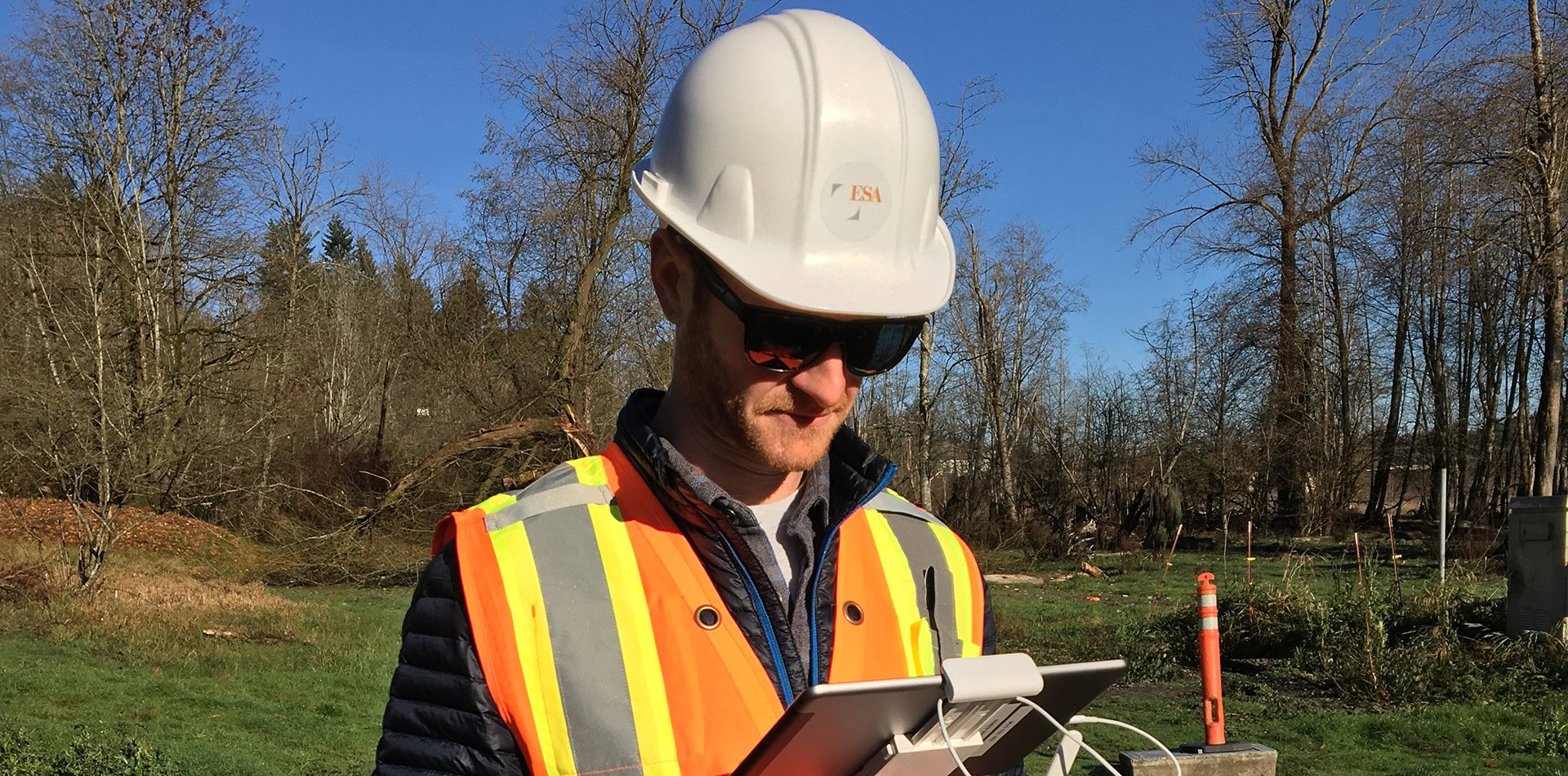
Mobile & UAS Data Collection
ESA regularly provides compliance monitoring support services associated with emergency response and construction activities, requiring sophisticated equipment and the latest field technologies to monitor and report events in real-time. ESA’s smartphones and tablets access an integrated form- and map-based collection software enabling our field teams to work in near real-time or in remote areas offline. Our team of one dozen FAA-certified pilots operate unmanned aerial vehicles (UAV) for on-demand data capture, including very-high resolution orthomosaics, 4K HD video, and elevation data rapidly and efficiently.
We are always looking for ways to leverage new technologies to improve processes and workflows internally and for our clients. If you have any questions or would like to learn more about how we can apply these tools to your project, contact Mike Leech, Director of Geospatial Services.