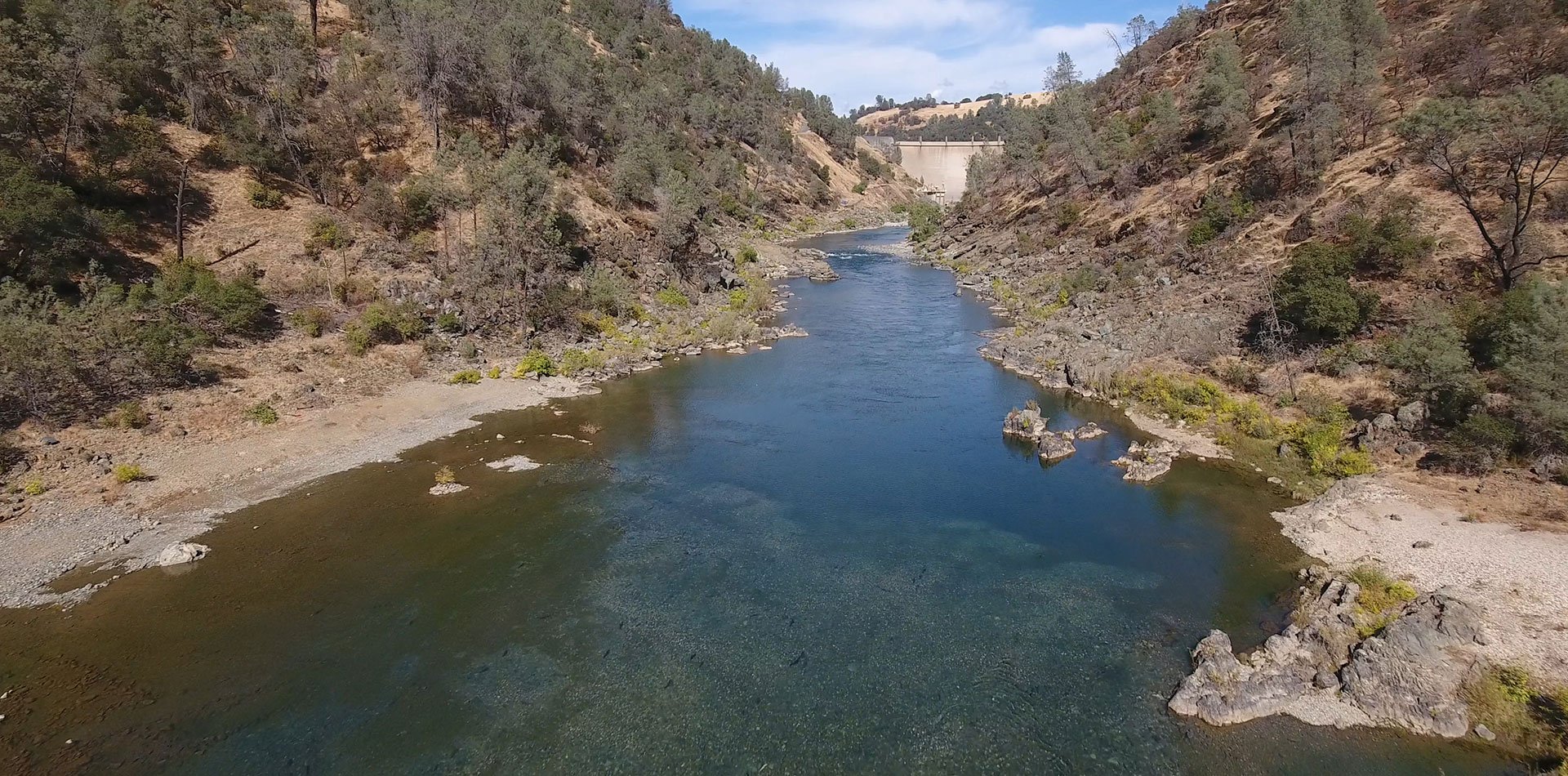
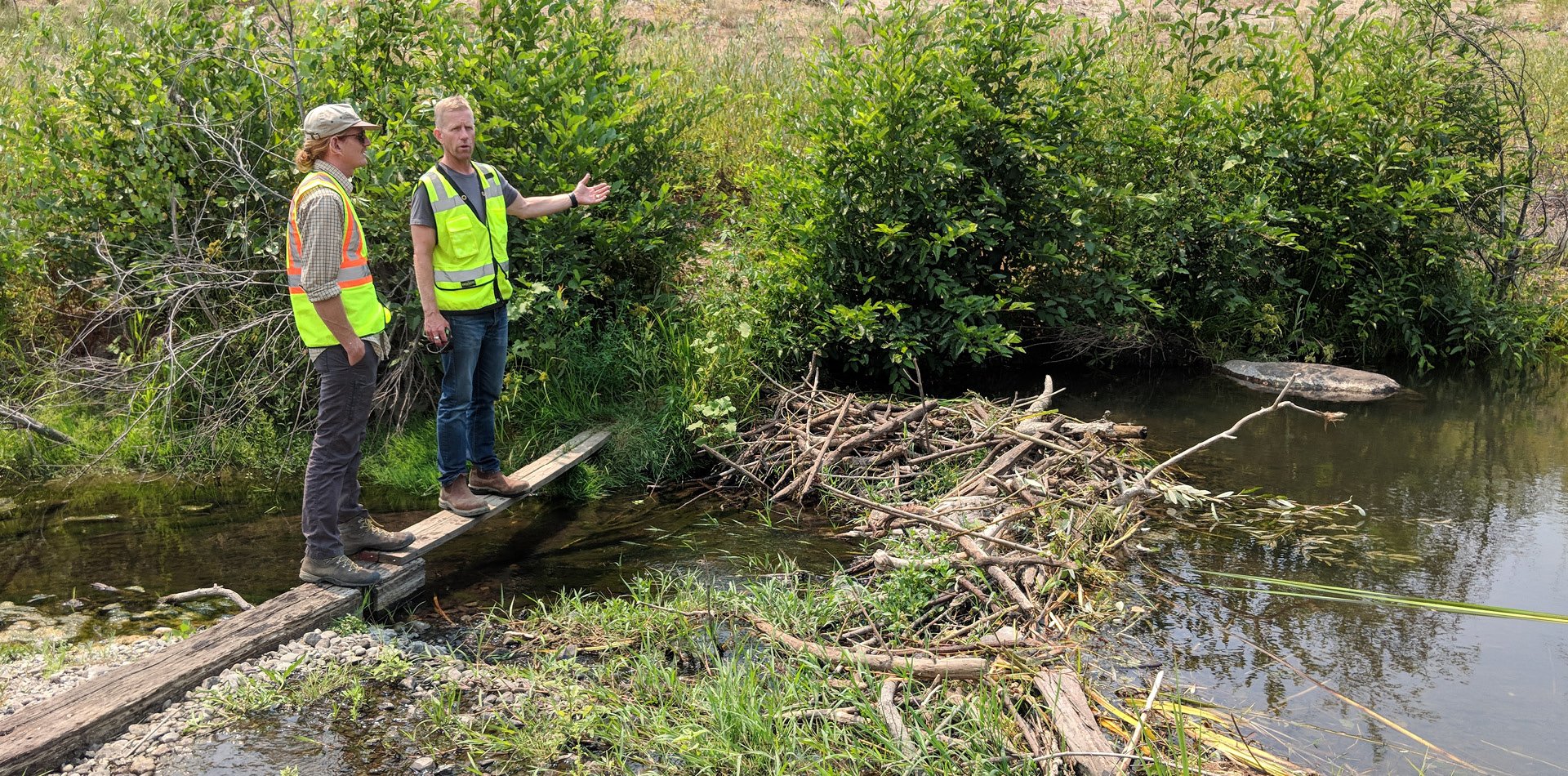
ESA’s engineers, scientists, and technical experts provide a full range of hydrologic, hydraulic, and geomorphic analyses to address our clients’ challenges. We combine these analyses with field data collection to gain insights into the physical processes that shape the environment.
Our hydrologists use state-of-the-art methods to understand the magnitude, frequency, distribution, and other characteristics of surface water in support of projects ranging from flood management planning to habitat restoration design and climate change adaptation. We also provide hydraulic engineering and analyses, including application of a variety of 1- and 2-dimensional hydrodynamic and sediment transport models.
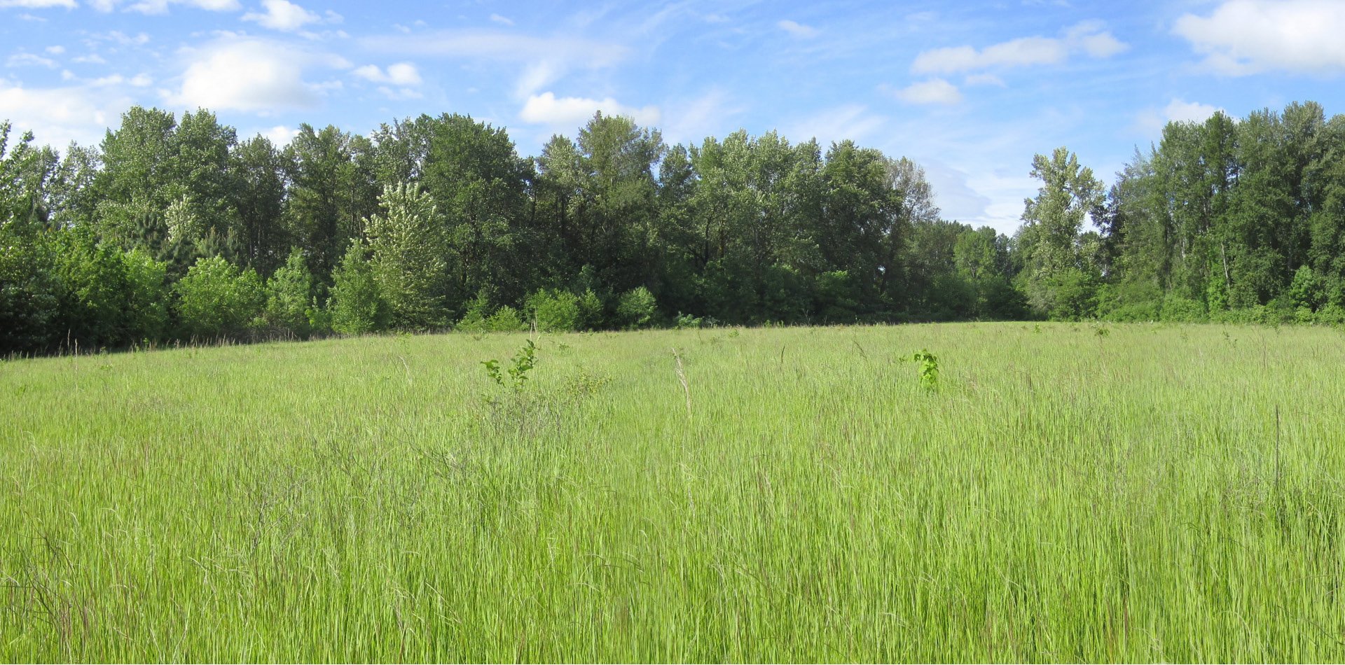
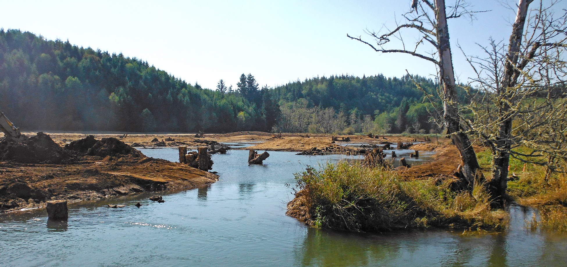
Our team practices applied geomorphology coupled with more traditional engineering approaches. The physical responses in natural systems are complex and can be difficult to accurately predict with standard engineering tools, such as hydrodynamic and sediment process models alone. Therefore, we often use applied geomorphology to quantify linkages between actions and responses.
For example, we have developed a proprietary in-house model for tidal inlet response to varying conditions, which can predict changes in inlet breaching and closure frequency and estuarine hydrology. This model has been extremely useful in answering restoration and management questions at a fraction of the cost of computer-assisted geomorphic modeling—with similar or better accuracy.
Related specialties and services:
- Coastal flood-hazard analysis
- Flood frequency analysis
- Hydrograph modification management
- Hydrographic survey
- Hydrologic, hydraulic, and hydrodynamic modeling
- Instream habitat studies
- Stormwater management
- Stream gaging
- Water conservation and reuse
- Watershed assessments